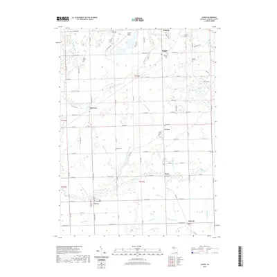
2019 Map of Jasper
USGS Topo · Published 2019About this map
The S Br River Raisin and a dense network of agricultural drainage channels, such as the Savage Drain and Mitchell Drain, define the landscape of south-central Lenawee County. Small rural hubs like Jasper, Weston, and Fairfield anchor the southern townships, while the outskirts of Adrian and the Lenawee County Airport mark the northern boundary. This 2019 survey provides significant genealogical detail through its extensive documentation of burial grounds, ranging from the historic Old Weston Cem and New Weston Cem to the County Poor House Cem and Apple Hill Cem. The map's grid-like road system, dominated by thoroughfares like Sand Creek Hwy and Treat Hwy, reflects the area's transition from the rail-oriented villages of the past to a modern transportation corridor serving the county seat.
Find a feature on this map
98 named features on this map. Tap any name to fly to it.
Don’t see what you’re looking for? This feature index may not catch every label — zoom into the map to look around manually.
Map Details
Editions of this 2019 Jasper Map
This is the sole edition of this map. No revisions or reprints were ever made.
Other maps of this area

1911 · Wauseon
USGS Topo · 1:62,500

1911 · Swanton
USGS Topo · 1:62,500

1913 · Wauseon
USGS Topo · 1:62,500

1914 · Swanton
USGS Topo · 1:62,500

1939 · Blissfield
USGS Topo · 1:62,500

1941 · Blissfield
USGS Topo · 1:62,500

1943 · Wauseon
USGS Topo · 1:62,500

1953 · Fort Wayne
USGS Topo · 1:250,000

1956 · Fort Wayne
USGS Topo · 1:250,000

1956 · Toledo
USGS Topo · 1:250,000