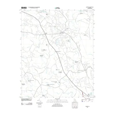
2011 Map of Jasper
USGS Topo · Published 2011About this map
Jasper and the nearby community of Tate anchor this portrait of north Georgia's landscape, where industrial operations and residential growth intersect. The southern edge of the map is dominated by the Georgia Marble Company, reflecting the region's long-standing connection to the stone industry. The surrounding terrain is defined by a dense network of water management features, including the Sharp Mountain Watershed Dam Number One and numerous other numbered dams that regulate the flow of Sharp Mountain Creek and Pettit Creek.
Find a feature on this map
95 named features on this map. Tap any name to fly to it.
Don’t see what you’re looking for? This feature index may not catch every label — zoom into the map to look around manually.
Map Details
Editions of this 2011 Jasper Map
This is the sole edition of this map. No revisions or reprints were ever made.
Other maps of this area

1886 · Dalton
USGS Topo · 1:125,000

1888 · Ellijay
USGS Topo · 1:125,000

1890 · Suwanee
USGS Topo · 1:125,000

1890 · Cartersville
USGS Topo · 1:125,000

1891 · Cartersville
USGS Topo · 1:125,000

1892 · Ellijay
USGS Topo · 1:125,000

1892 · Dalton
USGS Topo · 1:125,000

1894 · Suwanee
USGS Topo · 1:125,000

1896 · Cartersville
USGS Topo · 1:125,000

1897 · Dalton
USGS Topo · 1:125,000