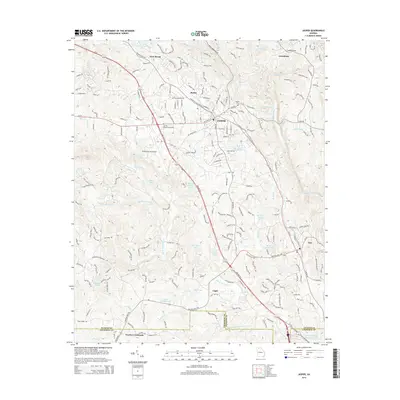
2014 Map of Jasper
USGS Topo · Published 2014About this map
The mountain-edged landscape of Jasper and the marble-rich district of Tate define this 2014 topographic study of Pickens County. The terrain is marked by significant hydrological features and small-scale settlements, illustrating the development of north Georgia's piedmont. Significant landmarks include the Pickens County Airport and industrial sites like the Georgia Marble Company Lake, which reflect the region's economic heritage in quarrying and transport.
Find a feature on this map
45 named features on this map. Tap any name to fly to it.
Don’t see what you’re looking for? This feature index may not catch every label — zoom into the map to look around manually.
Map Details
Editions of this 2014 Jasper Map
This is the sole edition of this map. No revisions or reprints were ever made.
Other maps of this area

1886 · Dalton
USGS Topo · 1:125,000

1888 · Ellijay
USGS Topo · 1:125,000

1890 · Suwanee
USGS Topo · 1:125,000

1890 · Cartersville
USGS Topo · 1:125,000

1891 · Cartersville
USGS Topo · 1:125,000

1892 · Ellijay
USGS Topo · 1:125,000

1892 · Dalton
USGS Topo · 1:125,000

1894 · Suwanee
USGS Topo · 1:125,000

1896 · Cartersville
USGS Topo · 1:125,000

1897 · Dalton
USGS Topo · 1:125,000