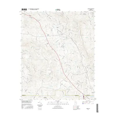
2017 Map of Jasper
USGS Topo · Published 2017About this map
Jasper and the surrounding Georgia hill country of Pickens County are detailed in this 2017 survey, revealing a landscape defined by its numerous small lakes and the winding paths of Sharp Mountain Creek and Petit Cr. The area exhibits a pattern of rural clusters and established communities like Tate and Nelson along the southeastern corridor. Local geography is punctuated by specific landmarks such as Padgett Falls and the Pickens County Airport. Genealogists and local historians can trace familial sites through several cemeteries and memorial sites, including Norton Cem and Sun Rise Memorial Gardens. The drainage patterns are intricate, with dozens of named water bodies such as Bill Teague Lake and Jones Lake supporting the Piedmont environment. Smaller settlements like Ruden and Worley Crossroads serve as navigation points within the dense network of local roads and creek valleys.
Find a feature on this map
176 named features on this map. Tap any name to fly to it.
Don’t see what you’re looking for? This feature index may not catch every label — zoom into the map to look around manually.
Map Details
Editions of this 2017 Jasper Map
This is the sole edition of this map. No revisions or reprints were ever made.
Other maps of this area

1886 · Dalton
USGS Topo · 1:125,000

1888 · Ellijay
USGS Topo · 1:125,000

1890 · Suwanee
USGS Topo · 1:125,000

1890 · Cartersville
USGS Topo · 1:125,000

1891 · Cartersville
USGS Topo · 1:125,000

1892 · Ellijay
USGS Topo · 1:125,000

1892 · Dalton
USGS Topo · 1:125,000

1894 · Suwanee
USGS Topo · 1:125,000

1896 · Cartersville
USGS Topo · 1:125,000

1897 · Dalton
USGS Topo · 1:125,000