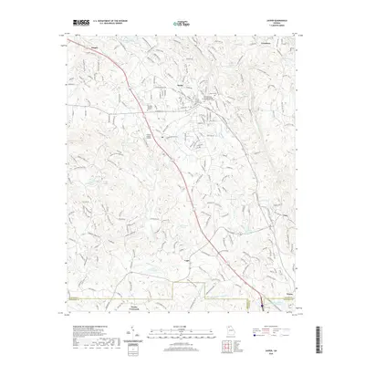
2020 Map of Jasper
USGS Topo · Published 2020About this map
Jasper serves as the seat of Pickens County, centered on the Pickens County Courthouse and the Chattahoochee Technical College Appalachian Campus. This terrain in the foothills of the Blue Ridge is defined by a series of north-south running ridges and narrow valleys, drained by waterways such as Pettit Cr and Sharp Mountain Creek. The map documents the region's long-standing connection to the stone industry, notably through the Georgia Marble Company Lake near the community of Nelson.
Find a feature on this map
229 named features on this map. Tap any name to fly to it.
Don’t see what you’re looking for? This feature index may not catch every label — zoom into the map to look around manually.
Map Details
Editions of this 2020 Jasper Map
This is the sole edition of this map. No revisions or reprints were ever made.
Other maps of this area

1886 · Dalton
USGS Topo · 1:125,000

1888 · Ellijay
USGS Topo · 1:125,000

1890 · Suwanee
USGS Topo · 1:125,000

1890 · Cartersville
USGS Topo · 1:125,000

1891 · Cartersville
USGS Topo · 1:125,000

1892 · Ellijay
USGS Topo · 1:125,000

1892 · Dalton
USGS Topo · 1:125,000

1894 · Suwanee
USGS Topo · 1:125,000

1896 · Cartersville
USGS Topo · 1:125,000

1897 · Dalton
USGS Topo · 1:125,000