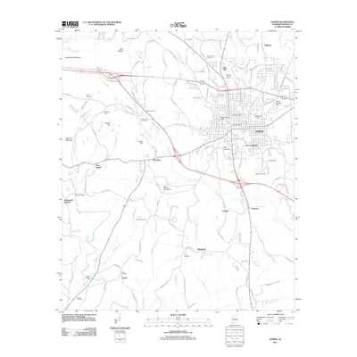
2011 Map of Jasper
USGS Topo · Published 2011About this map
Jasper serves as the focal point of this Walker County landscape, showing the city's modern layout and its expansion toward surrounding settlements like McCollum and Frisco Quarters. The topography is defined by a series of named hills, including Academy Hill, Peach Orchard Hill, and Coke Oven Hill, the latter nodding to the area's industrial heritage. Waterways such as Cane Creek and Town Creek wind through the terrain, while the city's civic infrastructure is noted by the Jasper Post Office and Water Tank Hill.
Find a feature on this map
149 named features on this map. Tap any name to fly to it.
Don’t see what you’re looking for? This feature index may not catch every label — zoom into the map to look around manually.
Map Details
Editions of this 2011 Jasper Map
This is the sole edition of this map. No revisions or reprints were ever made.
Other maps of this area

1893 · Jasper
USGS Topo · 1:125,000

1935 · Port Birmingham
USGS Topo · 1:48,000

1938 · Port Birmingham
USGS Topo · 1:62,500

1949 · Cordova
USGS Topo · 1:24,000

1949 · Parrish
USGS Topo · 1:24,000

1949 · Townley
USGS Topo · 1:24,000

1949 · Jasper
USGS Topo · 1:24,000

1949 · Oakman
USGS Topo · 1:24,000

1949 · Manchester
USGS Topo · 1:24,000

1949 · Nauvoo
USGS Topo · 1:24,000