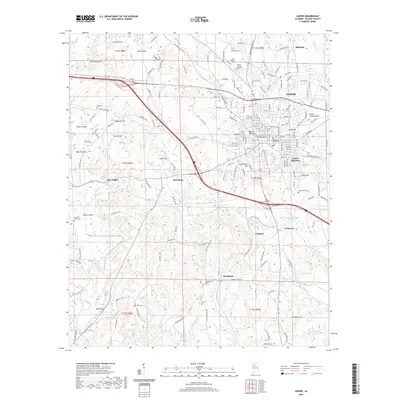
2020 Map of Jasper
USGS Topo · Published 2020About this map
Jasper serves as the central hub in this Walker County landscape, where the Walker County Courthouse anchors a city grid bounded by varied terrain. The topography to the west and south is defined by named rises and hollows, including Bear Pen Mtn, Horseshoe Mtn, and Kimbrell Hill. These landmarks, along with many smaller features like Stave Hollow and Dark Hollow, suggest a history of local navigation through the ridges and valleys of the Cumberland Plateau foothills.
Find a feature on this map
192 named features on this map. Tap any name to fly to it.
Don’t see what you’re looking for? This feature index may not catch every label — zoom into the map to look around manually.
Map Details
Editions of this 2020 Jasper Map
This is the sole edition of this map. No revisions or reprints were ever made.
Other maps of this area

1893 · Jasper
USGS Topo · 1:125,000

1935 · Port Birmingham
USGS Topo · 1:48,000

1938 · Port Birmingham
USGS Topo · 1:62,500

1949 · Cordova
USGS Topo · 1:24,000

1949 · Parrish
USGS Topo · 1:24,000

1949 · Townley
USGS Topo · 1:24,000

1949 · Jasper
USGS Topo · 1:24,000

1949 · Oakman
USGS Topo · 1:24,000

1949 · Manchester
USGS Topo · 1:24,000

1949 · Nauvoo
USGS Topo · 1:24,000