
1925 Map of Jay Peak
USGS Topo · Published 1925About this map
The Missisquoi River carves a path through the northern Green Mountains in this mid-1920s survey, anchoring the border-town economy of Richford. In this era, the landscape is defined by the intersection of mountain geography and essential transit, where the Canadian Pacific and Central Vermont railroads facilitate trade near the international boundary. A network of rural district schools like Corey School, Austin School, and the Hazens Notch School highlights the decentralized nature of these upland farming and logging communities.
Find a feature on this map
82 named features on this map. Tap any name to fly to it.
Don’t see what you’re looking for? This feature index may not catch every label — zoom into the map to look around manually.
Map Details
Editions of this 1925 Jay Peak Map
4 editions found
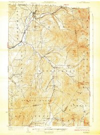
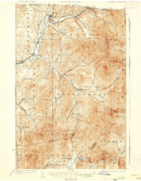
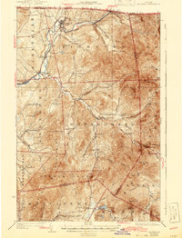
Other maps of this area

1919 · Montgomery
USGS Topo · 1:62,500

1920 · Franklin Pond
USGS Topo · 1:62,500

1920 · Montgomery
USGS Topo · 1:62,500

1920 · Irasburg
USGS Topo · 1:62,500

1922 · Enosburg Falls
USGS Topo · 1:48,000

1923 · Irasburg
USGS Topo · 1:48,000

1924 · Enosburg Falls
USGS Topo · 1:62,500

1925 · Irasburg
USGS Topo · 1:62,500

1925 · Mount Mansfield
USGS Topo · 1:48,000

1927 · Mount Mansfield
USGS Topo · 1:62,500