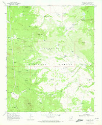
1970 Map of Jaycox Mtn.
USGS Topo · Published 1972About this map
The high plateau of the Coconino National Forest in Arizona is meticulously detailed in this 1970 field-checked survey. The landscape is defined by its complex network of water management, evidenced by dozens of named catchments such as Jaycox Tank, Clay Tank, and Doubtful Tank. These vital water sources support the surrounding terrain, which rises toward peaks like Jaycox Mtn and Pine Mtn. In the northeast, the deep incisions of Grapevine Canyon and Canyon Diablo cut through the forest floor, creating a stark contrast to the open flats of Bargaman Park and the Sawmill Hills. The Presence of the Soldier Annex Canal and numerous jeep trails suggests a landscape active with forest management and livestock grazing during this era. Landowners and historians can trace the paths of seasonal washes like Sawmill Wash and the locations of remote outposts like the Johnny Tank or Antelope Tank.
Find a feature on this map
64 named features on this map. Tap any name to fly to it.
Don’t see what you’re looking for? This feature index may not catch every label — zoom into the map to look around manually.
Map Details
Editions of this 1970 Jaycox Mtn. Map
2 editions found
Other maps of this area

1887 · Verde
USGS Topo · 1:250,000

1892 · Verde
USGS Topo · 1:250,000

1954 · Holbrook
USGS Topo · 1:250,000

1957 · Holbrook
USGS Topo · 1:250,000

1958 · Holbrook
USGS Topo · 1:250,000

1960 · Holbrook
USGS Topo · 1:250,000
1965 · Hutch Mtn.
USGS Topo · 1:24,000
1965 · Mormon Lake
USGS Topo · 1:24,000
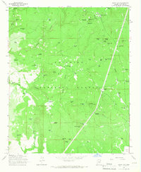
1965 · Happy Jack
USGS Topo · 1:24,000
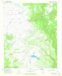
1970 · Kinnikinick Lake
USGS Topo · 1:24,000