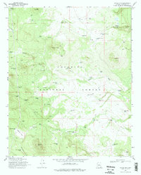
1970 Map of Jaycox Mtn.
USGS Topo · Published 1979About this map
Coconino National Forest defines this high-altitude landscape, characterized by a complex network of water catchment systems essential for ranching and wildlife. The 1970 survey reveals a territory where survival depends on a series of man-made and natural water sources, including Dove Spring and Grapevine Spring. Numerous tanks with distinctive names like Quarter Circle Bar Tank, Luth Hart Tank, and Sarah Jane Tank indicate active grazing allotments and family-associated landmarks in the mid-20th century.
Find a feature on this map
61 named features on this map. Tap any name to fly to it.
Don’t see what you’re looking for? This feature index may not catch every label — zoom into the map to look around manually.
Map Details
Editions of this 1970 Jaycox Mtn. Map
2 editions found
Other maps of this area

1887 · Verde
USGS Topo · 1:250,000

1892 · Verde
USGS Topo · 1:250,000

1954 · Holbrook
USGS Topo · 1:250,000

1957 · Holbrook
USGS Topo · 1:250,000

1958 · Holbrook
USGS Topo · 1:250,000

1960 · Holbrook
USGS Topo · 1:250,000
1965 · Hutch Mtn.
USGS Topo · 1:24,000
1965 · Mormon Lake
USGS Topo · 1:24,000
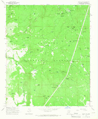
1965 · Happy Jack
USGS Topo · 1:24,000
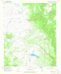
1970 · Kinnikinick Lake
USGS Topo · 1:24,000