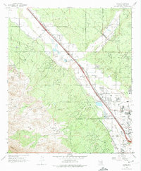
1968 Map of Jaynes
USGS Topo · Published 1974About this map
The Santa Cruz River corridor northwest of Tucson exhibits a landscape of transition in the late 1960s, where traditional desert ranching meets burgeoning infrastructure. Several named properties like Sahuaro Ranch, Iron Bell Ranch, and Sweetwater Ranch are situated along the eastern slopes of the Tucson Mts, which also contain legacy extraction sites such as the Yuma Mine and Gila Monster Mine. The Southern Pacific Railroad runs parallel to the river, anchoring small settlements like Cortaro, Kino, and Jaynes.
Find a feature on this map
57 named features on this map. Tap any name to fly to it.
Don’t see what you’re looking for? This feature index may not catch every label — zoom into the map to look around manually.
Map Details
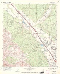
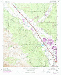
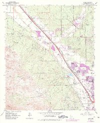
Editions of this 1968 Jaynes Map
4 editions found
Other maps of this area

1904 · Tucson
USGS Topo · 1:125,000

1905 · Tucson
USGS Topo · 1:125,000

1925 · San Xavier
USGS Topo · 1:62,500

1934 · Tucson Mountains
USGS Topo · 1:125,000

1943 · San Xavier Mission
USGS Topo · 1:62,500

1947 · Cortaro
USGS Topo · 1:62,500

1948 · Tucson
USGS Topo · 1:62,500

1956 · Tucson
USGS Topo · 1:250,000

1957 · San Xavier Mission
USGS Topo · 1:62,500

1957 · Tucson
USGS Topo · 1:24,000