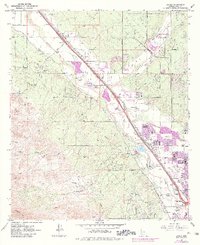
1968 Map of Jaynes
USGS Topo · Published 1984About this map
The Santa Cruz River and Southern Pacific railroad corridor dictate the settlement patterns of this Pima County landscape as it transitioned from agricultural use to suburban expansion. Numerous named ranches, including Sahuaro Ranch, Iron Bell Ranch, and Sweetwater Ranch, are clustered at the foothills of the Tucson Mts, while the valley floor shows the growth of Cortaro, Kino, and Jaynes. Purple-shaded revisions indicate the rapid development of northern Tucson and its proximity to the Univ of Ariz Experimental Farm. Historical land use is further evidenced by industrial activity such as the Yuma Mine, Gila Monster Mine, and various gravel pits. The presence of Radio Station (KFIF) and Radio Station (KTKT), alongside schools like Green Fields Sch, points to a maturing community infrastructure near the Rillito Creek drainage.
Find a feature on this map
46 named features on this map. Tap any name to fly to it.
Don’t see what you’re looking for? This feature index may not catch every label — zoom into the map to look around manually.
Map Details
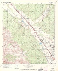
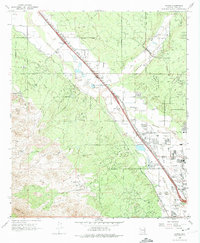
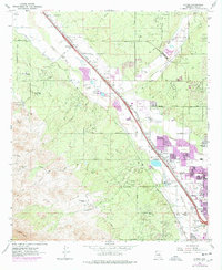
Editions of this 1968 Jaynes Map
4 editions found
Other maps of this area

1904 · Tucson
USGS Topo · 1:125,000

1905 · Tucson
USGS Topo · 1:125,000

1925 · San Xavier
USGS Topo · 1:62,500

1934 · Tucson Mountains
USGS Topo · 1:125,000

1943 · San Xavier Mission
USGS Topo · 1:62,500

1947 · Cortaro
USGS Topo · 1:62,500

1948 · Tucson
USGS Topo · 1:62,500

1956 · Tucson
USGS Topo · 1:250,000

1957 · San Xavier Mission
USGS Topo · 1:62,500

1957 · Tucson
USGS Topo · 1:24,000