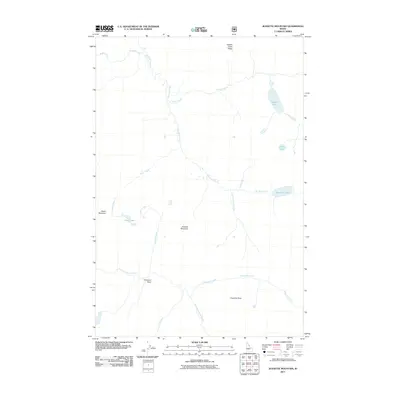
2011 Map of Jeanette Mountain
USGS Topo · Published 2011About this map
Jeanette Mountain serves as a central anchor for this remote high-elevation drainage system in Idaho County. The 2011 survey reveals a landscape dominated by the branching headwaters of Big Sand Creek and the East Fork Moose Creek, illustrating the complex hydrology of the Clearwater National Forest region. Small alpine basins hold scattered water bodies such as Hidden Lake, Corky Lake, and Duck Lake, which are characteristic of this glaciated terrain. Significant landmarks like Diablo Mountain and Footstool Point offer topographical context for researchers tracking historical trails or geographic boundaries. The map highlights the isolation of the area, where naming conventions like Dead Elk Point and Hidden Creek Ridge hint at the wilderness character and wildlife presence that define this part of the Idaho interior.
Find a feature on this map
19 named features on this map. Tap any name to fly to it.
Don’t see what you’re looking for? This feature index may not catch every label — zoom into the map to look around manually.
Map Details
Editions of this 2011 Jeanette Mountain Map
This is the sole edition of this map. No revisions or reprints were ever made.
Other maps of this area

1901 · Hamilton
USGS Topo · 1:125,000

1911 · Lolo
USGS Topo · 1:250,000

1913 · Lolo
USGS Topo · 1:250,000

1956 · Hamilton
USGS Topo · 1:250,000

1959 · Hamilton
USGS Topo · 1:250,000

1960 · Hamilton
USGS Topo · 1:250,000

1964 · Hamilton
USGS Topo · 1:250,000

1964 · Tenmile Lake
USGS Topo · 1:24,000

1966 · Grave Peak
USGS Topo · 1:24,000
1966 · Wahoo Peak
USGS Topo · 1:24,000