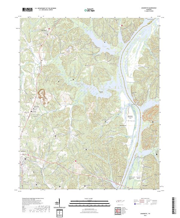
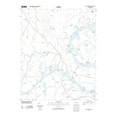
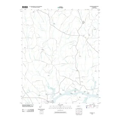
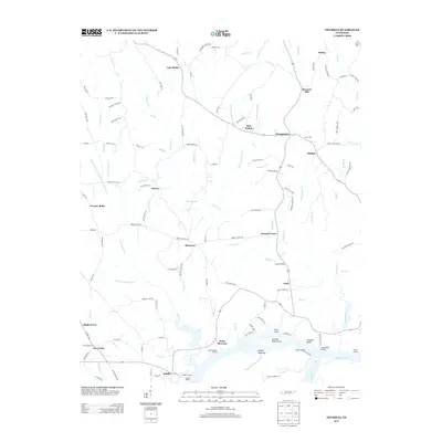
2022 Map of Jeannette
USGS Topo · Published 2022About this map
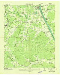
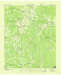
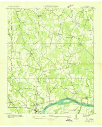
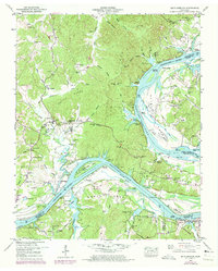
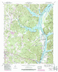
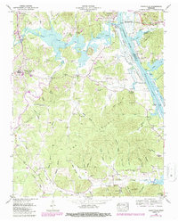
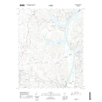
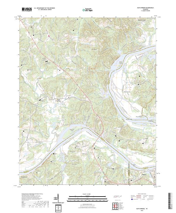
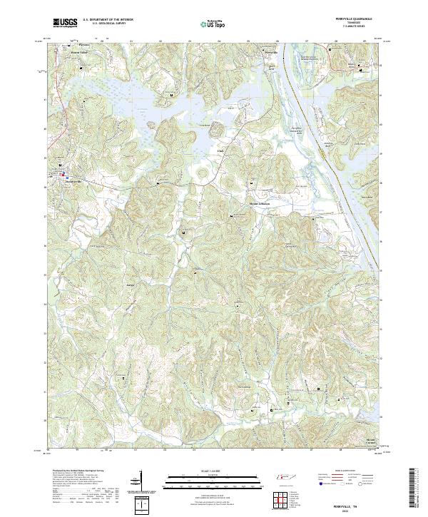
Kentucky Lake and the Tennessee River dominate the eastern landscape of this Decatur County region, where the river's path is marked by distinctive formations like The Narrows and Lady Finger Bluff. The transition from the river bottomlands to the interior ridges is defined by a dense network of hollows and ridges, including Campbell Hollow, Baugus Hollow, and Sparks Ridge. The Busseltown Dewatering Area and East Perryville Dewatering Area illustrate the managed hydrology along the river banks north of Howard.
Find a feature on this map
162 named features on this map. Tap any name to fly to it.
Don’t see what you’re looking for? This feature index may not catch every label — zoom into the map to look around manually.
Map Details
Editions of this 2022 Jeannette Map
This is the sole edition of this map. No revisions or reprints were ever made.
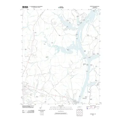
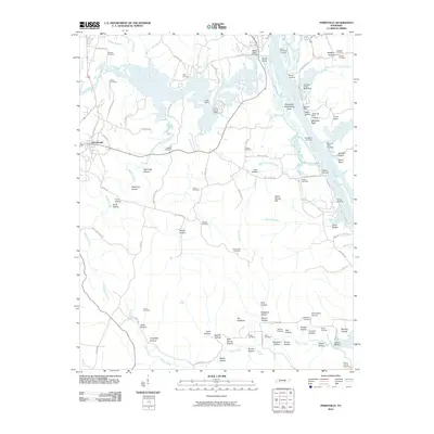
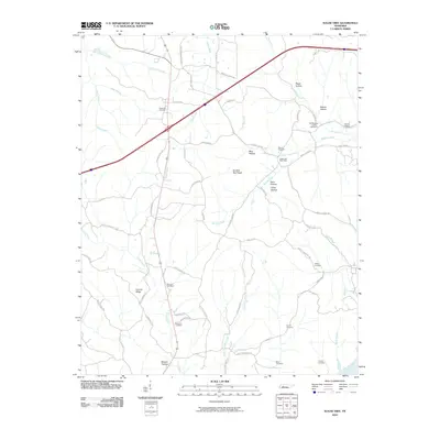
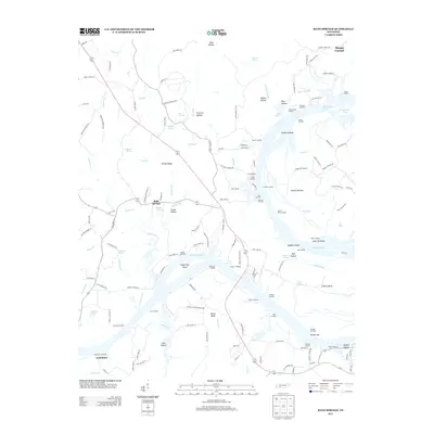
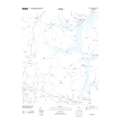
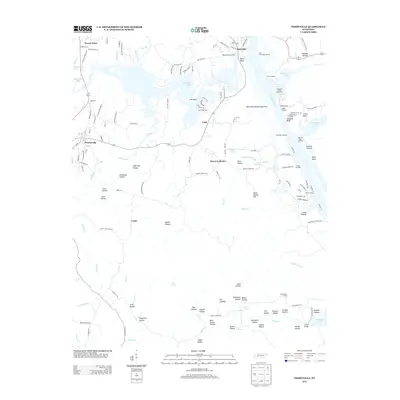
Historical Maps of Parsons Through Time
36 maps found
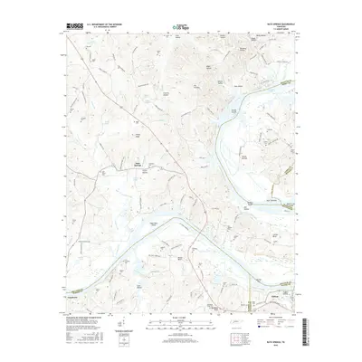
1936 Bath Springs
Decatur County, TN
1936 Cavvia
Decatur County, TN
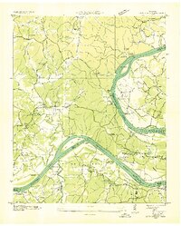
1936 Jeannette
Decatur County, TN
1936 Perryville
Decatur County, TN
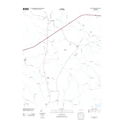
1936 Sugar Tree
Decatur County, TN
1936 Thurman
Decatur County, TN
1949 Bath Springs
Decatur County, TN
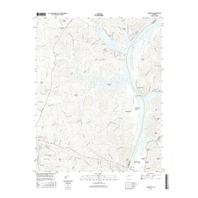
1949 Jeannette
Decatur County, TN
1949 Perryville
Decatur County, TN
1949 Sugar Tree
Decatur County, TN
1949 Thurman
Decatur County, TN
2010 Bath Springs
Decatur County, TN
2010 Jeannette
Decatur County, TN
2010 Perryville
Decatur County, TN
2010 Sugar Tree
Decatur County, TN
2010 Thurman
Decatur County, TN
2013 Bath Springs
Decatur County, TN
2013 Jeannette
Decatur County, TN
2013 Perryville
Decatur County, TN
2013 Sugar Tree
Decatur County, TN
2013 Thurman
Decatur County, TN
2016 Bath Springs
Decatur County, TN
2016 Jeannette
Decatur County, TN
2016 Perryville
Decatur County, TN
2016 Sugar Tree
Decatur County, TN
2016 Thurman
Decatur County, TN
2019 Bath Springs
Decatur County, TN
2019 Jeannette
Decatur County, TN
2019 Perryville
Decatur County, TN
2019 Sugar Tree
Decatur County, TN
2019 Thurman
Decatur County, TN
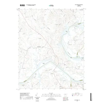
2022 Bath Springs
Decatur County, TN
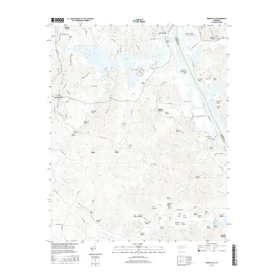
2022 Jeannette
Decatur County, TN
2022 Perryville
Decatur County, TN
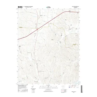
2022 Sugar Tree
Decatur County, TN
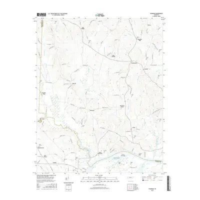
2022 Thurman
Decatur County, TN