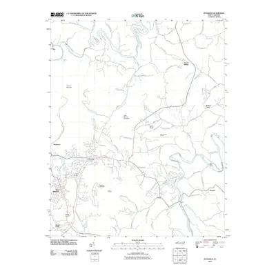
2010 Map of Jefferson
USGS Topo · Published 2010About this map
Mount Jefferson and Phoenix Mountain dominate this part of Ashe County, where the north and south forks of the New River carve deep paths through the high country. In the early 21st century, the neighboring towns of Jefferson and West Jefferson serve as the commercial and civic hubs of the region, surrounded by a network of rural settlements such as Bina, Smethport, and Shatley Springs. The landscape is characterized by the winding courses of Naked Creek, Beaver Creek, and Piney Creek, which flow toward the river forks. Modern infrastructure is evident in the Ashe County Airport and the development of Panther Den Est. For those tracing local history, the map identifies small landmarks and gathering places like Luther Overlook and Ashelawn Memorial Gardens, as well as river access points such as the Wagoner Road Access along the South Fork New River.
Find a feature on this map
88 named features on this map. Tap any name to fly to it.
Don’t see what you’re looking for? This feature index may not catch every label — zoom into the map to look around manually.
Map Details
Editions of this 2010 Jefferson Map
This is the sole edition of this map. No revisions or reprints were ever made.
Other maps of this area

1889 · Wytheville
USGS Topo · 1:125,000

1889 · Wilkesboro
USGS Topo · 1:125,000

1891 · Abingdon
USGS Topo · 1:125,000

1891 · Wilkesboro
USGS Topo · 1:125,000

1892 · Wytheville
USGS Topo · 1:125,000

1893 · Cranberry
USGS Topo · 1:125,000

1894 · Abingdon
USGS Topo · 1:125,000

1895 · Cranberry
USGS Topo · 1:125,000

1899 · Cranberry
USGS Topo · 1:125,000

1902 · Cranberry
USGS Topo · 1:125,000