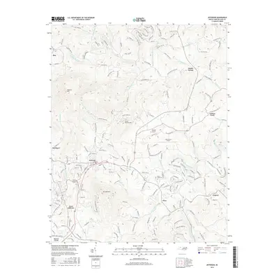
2016 Map of Jefferson
USGS Topo · Published 2016About this map
Jefferson and West Jefferson serve as the primary nodes of activity in this upland area of Ashe County, where the landscape is defined by the winding paths of the North Fork New River and South Fork New River. The terrain is dominated by prominent heights such as Phoenix Mtn and Mt Jefferson, while smaller communities like Shatley Springs and Bina are tucked into the valleys. Local history is anchored by sites like the Walters-Jacobs Cem and Shelter Baptist Church, reflecting the established rural network of the mid-20th century. Modern infrastructure is evident in the presence of the Ashe County Airport and Ashelawn Memorial Gardens, which sit amidst a topography marked by numerous branches and creeks, including Naked Cr and Little Buffalo Cr. The map illustrates the convergence of small-town development and steep mountain slopes, showing how transportation routes like Old Hwy 16 followed the natural contours of ridges like Clear View Ridge.
Find a feature on this map
178 named features on this map. Tap any name to fly to it.
Don’t see what you’re looking for? This feature index may not catch every label — zoom into the map to look around manually.
Map Details
Editions of this 2016 Jefferson Map
This is the sole edition of this map. No revisions or reprints were ever made.
Other maps of this area

1889 · Wytheville
USGS Topo · 1:125,000

1889 · Wilkesboro
USGS Topo · 1:125,000

1891 · Abingdon
USGS Topo · 1:125,000

1891 · Wilkesboro
USGS Topo · 1:125,000

1892 · Wytheville
USGS Topo · 1:125,000

1893 · Cranberry
USGS Topo · 1:125,000

1894 · Abingdon
USGS Topo · 1:125,000

1895 · Cranberry
USGS Topo · 1:125,000

1899 · Cranberry
USGS Topo · 1:125,000

1902 · Cranberry
USGS Topo · 1:125,000