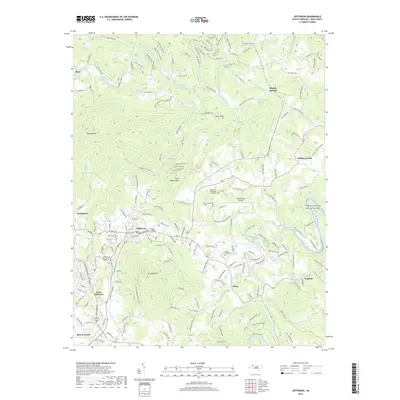
2019 Map of Jefferson
USGS Topo · Published 2019About this map
The town of Jefferson and its neighboring community West Jefferson occupy a high-elevation plateau defined by the prominent peak of Mt Jefferson. This 2019 survey captures the modern landscape of Ashe County, where the North Fork New River and South Fork New River carve distinct drainage patterns through the surrounding mountains. Notable landmarks include the Ashe County Airport and Ashelawn Memorial Gardens, which sit north of the town center near Naked Creek.
Find a feature on this map
191 named features on this map. Tap any name to fly to it.
Don’t see what you’re looking for? This feature index may not catch every label — zoom into the map to look around manually.
Map Details
Editions of this 2019 Jefferson Map
This is the sole edition of this map. No revisions or reprints were ever made.
Other maps of this area

1889 · Wytheville
USGS Topo · 1:125,000

1889 · Wilkesboro
USGS Topo · 1:125,000

1891 · Abingdon
USGS Topo · 1:125,000

1891 · Wilkesboro
USGS Topo · 1:125,000

1892 · Wytheville
USGS Topo · 1:125,000

1893 · Cranberry
USGS Topo · 1:125,000

1894 · Abingdon
USGS Topo · 1:125,000

1895 · Cranberry
USGS Topo · 1:125,000

1899 · Cranberry
USGS Topo · 1:125,000

1902 · Cranberry
USGS Topo · 1:125,000