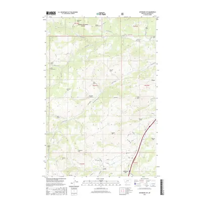
2017 Map of Jefferson City
USGS Topo · Published 2017About this map
Jefferson City and the nearby community of Corbin serve as the primary focal points for this 2017 survey of the Montana landscape. Located within the drainage of Prickly Pear Cr, these settlements are situated in a terrain defined by steep gulches and high peaks, including Wolf Mtn and Emerson Peak. The northern reaches are heavily influenced by the Helena National Forest, where a dense network of mountain roads such as Lump Gulch Rd and Sheep Mountain Rd thread through the hills. This map illustrates the intersection of small-town infrastructure and rugged timberland, showing how local landmarks like McCauley Flats and various spring systems, including Mudd Springs, are integrated into the geography. To the east, Clancy sits along the Hwy 282 corridor, marking the easternmost extent of this detailed topographical study.
Find a feature on this map
67 named features on this map. Tap any name to fly to it.
Don’t see what you’re looking for? This feature index may not catch every label — zoom into the map to look around manually.
Map Details
Editions of this 2017 Jefferson City Map
This is the sole edition of this map. No revisions or reprints were ever made.
Other maps of this area

1886 · Fort Logan
USGS Topo · 1:250,000

1889 · Helena
USGS Topo · 1:250,000

1893 · Helena
USGS Topo · 1:250,000

1899 · Boulder
USGS Topo · 1:125,000

1899 · Helena
USGS Topo · 1:62,500

1899 · Helena
USGS Topo · 1:250,000

1903 · Helena
USGS Topo · 1:250,000

1947 · Butte
USGS Topo · 1:250,000

1948 · White Sulphur Springs
USGS Topo · 1:250,000

1950 · Jefferson City
USGS Topo · 1:62,500