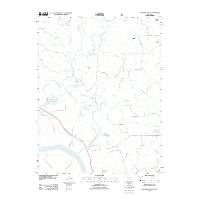
2012 Map of Jefferson City NW
USGS Topo · Published 2012About this map
The Missouri River sweeps across the southwestern corner of this landscape, anchoring a complex drainage system that includes Cedar Creek and Turkey Creek. The terrain north of the river is defined by numerous family and community landmarks, including Sheley Cemetery, Mount Zion Cemetery, and Meng Cemetery, which offer valuable points of reference for genealogists and local historians. Small water bodies like Lake Champetra and Charlie Howard Lake dot the map, while the name Audrain Prairies in the northeast suggests the original vegetation patterns of this Missouri region.
Find a feature on this map
71 named features on this map. Tap any name to fly to it.
Don’t see what you’re looking for? This feature index may not catch every label — zoom into the map to look around manually.
Map Details
Editions of this 2012 Jefferson City NW Map
This is the sole edition of this map. No revisions or reprints were ever made.
Other maps of this area

1886 · Jefferson City
USGS Topo · 1:125,000

1894 · Jefferson City
USGS Topo · 1:125,000

1939 · Jefferson City
USGS Topo · 1:24,000

1939 · Jefferson City
USGS Topo · 1:62,500

1942 · Jefferson City
USGS Topo · 1:62,500

1944 · Millersburg
USGS Topo · 1:62,500

1946 · Millersburg
USGS Topo · 1:62,500

1947 · Jefferson City
USGS Topo · 1:250,000

1948 · Centertown
USGS Topo · 1:62,500

1948 · Columbia
USGS Topo · 1:62,500