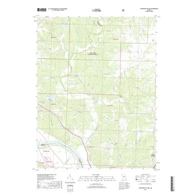
2017 Map of Jefferson City NW
USGS Topo · Published 2017About this map
Cedar Creek and its many tributaries, including Brushy Cr and Clifton Cr, carve through the rolling uplands of the Mark Twain National Forest as they descend toward the Missouri River. This 2017 survey documents the intersection of three Missouri counties: Boone, Callaway, and Cole. The landscape is a mix of protected forest lands and agricultural tracts, tied together by a network of rural routes like State Hwy MM and Rocktown Rd.
Find a feature on this map
82 named features on this map. Tap any name to fly to it.
Don’t see what you’re looking for? This feature index may not catch every label — zoom into the map to look around manually.
Map Details
Editions of this 2017 Jefferson City NW Map
This is the sole edition of this map. No revisions or reprints were ever made.
Other maps of this area

1886 · Jefferson City
USGS Topo · 1:125,000

1894 · Jefferson City
USGS Topo · 1:125,000

1939 · Jefferson City
USGS Topo · 1:24,000

1939 · Jefferson City
USGS Topo · 1:62,500

1942 · Jefferson City
USGS Topo · 1:62,500

1944 · Millersburg
USGS Topo · 1:62,500

1946 · Millersburg
USGS Topo · 1:62,500

1947 · Jefferson City
USGS Topo · 1:250,000

1948 · Centertown
USGS Topo · 1:62,500

1948 · Columbia
USGS Topo · 1:62,500