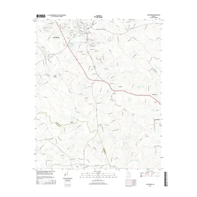
2014 Map of Jefferson
USGS Topo · Published 2014About this map
The Middle Oconee River and Mulberry River converge in this northern Georgia landscape, defining a region where the city of Jefferson serves as a central hub of development. To the south and east, smaller settlements like Arcade, Red Stone, and Clarksboro are interspersed among numerous water bodies such as Williamsons Lake, Terry Lake, and Crowes Lake. The terrain is marked by a complex network of creeks including Buffalo Cr, Curry Cr, and Beech Cr, which feed into the larger river systems.
Find a feature on this map
175 named features on this map. Tap any name to fly to it.
Don’t see what you’re looking for? This feature index may not catch every label — zoom into the map to look around manually.
Map Details
Editions of this 2014 Jefferson Map
This is the sole edition of this map. No revisions or reprints were ever made.
Other maps of this area

1891 · Gainesville
USGS Topo · 1:125,000

1891 · Carnesville
USGS Topo · 1:125,000

1896 · Monroe
USGS Topo · 1:125,000

1953 · Athens
USGS Topo · 1:250,000

1954 · Greenville
USGS Topo · 1:250,000

1958 · Greenville
USGS Topo · 1:250,000

1958 · Athens
USGS Topo · 1:250,000

1959 · Athens
USGS Topo · 1:250,000

1963 · Athens
USGS Topo · 1:250,000

1964 · Commerce
USGS Topo · 1:24,000