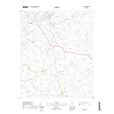
2020 Map of Jefferson
USGS Topo · Published 2020About this map
Jefferson serves as the focal point of this Jackson County survey, situated at a crossroads of commerce and local history. The town's layout reflects generations of growth, from the dense grid of streets like Hoschton St and Mahaffey St to the sprawling outskirts near Arcade. The Middle Oconee River and its various tributaries, including Buffalo Cr and Curry Cr, define the drainage and topography of the region, creating a landscape punctuated by numerous private lakes and river crossings.
Find a feature on this map
180 named features on this map. Tap any name to fly to it.
Don’t see what you’re looking for? This feature index may not catch every label — zoom into the map to look around manually.
Map Details
Editions of this 2020 Jefferson Map
This is the sole edition of this map. No revisions or reprints were ever made.
Other maps of this area

1891 · Gainesville
USGS Topo · 1:125,000

1891 · Carnesville
USGS Topo · 1:125,000

1896 · Monroe
USGS Topo · 1:125,000

1953 · Athens
USGS Topo · 1:250,000

1954 · Greenville
USGS Topo · 1:250,000

1958 · Greenville
USGS Topo · 1:250,000

1958 · Athens
USGS Topo · 1:250,000

1959 · Athens
USGS Topo · 1:250,000

1963 · Athens
USGS Topo · 1:250,000

1964 · Commerce
USGS Topo · 1:24,000