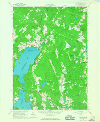
1965 Map of Jefferson
USGS Topo · Published 1967About this map
Damariscotta Lake dominates this mid-1960s landscape, with its northern reaches extending into Great Bay and narrow passages at The Narrows. The settlement of Jefferson sits at the northern tip of the lake, serving as a focal point for a region defined by scattered farming communities and intricate water networks. To the east, the Medomak River winds through the countryside near North Waldoboro, passing multiple rapids and small settlements like Flanders Corner and Bogues Corner. Numerous named hills, such as Haskell Hill with its lookout tower and Robinson Ridge, separate the river valleys and lake basins. The presence of several historic cemeteries and the St Giles Ch indicates a deeply rooted community structure, while various gravel pits suggest the local importance of resource extraction during this period. The survey also captures the boundary transition between Knox and Lincoln Counties as it cuts across the rural townships of Nobleboro and Waldoboro.
Find a feature on this map
44 named features on this map. Tap any name to fly to it.
Don’t see what you’re looking for? This feature index may not catch every label — zoom into the map to look around manually.
Map Details
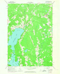
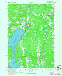
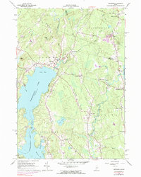
Editions of this 1965 Jefferson Map
4 editions found
Other maps of this area

1893 · Vassalboro
USGS Topo · 1:62,500

1893 · Wiscasset
USGS Topo · 1:62,500

1898 · Vassalboro
USGS Topo · 1:62,500

1913 · Waldoboro
USGS Topo · 1:48,000

1915 · Waldoboro
USGS Topo · 1:62,500

1916 · Liberty
USGS Topo · 1:62,500

1941 · Waldoboro
USGS Topo · 1:62,500

1941 · Vassalboro
USGS Topo · 1:62,500

1942 · Liberty
USGS Topo · 1:62,500

1943 · Vassalboro
USGS Topo · 1:62,500