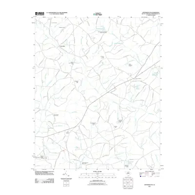
2011 Map of Jefferson NE
USGS Topo · Published 2011About this map
Evans Mill and a network of historic millponds define this rural landscape in the northeastern corner of Chesterfield County. The terrain is a complex drainage system fed by Black Creek, which winds through the center of the sheet, supported by numerous named branches such as Panther Branch, Joplin Branch, and the curiously named Tan Trough Branch. These water sources historically supported local industry, evidenced by features like Steen Millpond and Rimes Millpond.
Find a feature on this map
128 named features on this map. Tap any name to fly to it.
Don’t see what you’re looking for? This feature index may not catch every label — zoom into the map to look around manually.
Map Details
Editions of this 2011 Jefferson NE Map
This is the sole edition of this map. No revisions or reprints were ever made.
Other maps of this area

1941 · Spartanburg
USGS Topo · 1:250,000

1953 · Spartanburg
USGS Topo · 1:250,000

1960 · Spartanburg
USGS Topo · 1:250,000

1963 · Spartanburg
USGS Topo · 1:250,000

1964 · Spartanburg
USGS Topo · 1:250,000

1967 · Angelus
USGS Topo · 1:24,000

1967 · Mount Pisgah
USGS Topo · 1:24,000

1968 · Middendorf
USGS Topo · 1:24,000

1968 · Ruby
USGS Topo · 1:24,000

1968 · Jefferson
USGS Topo · 1:24,000