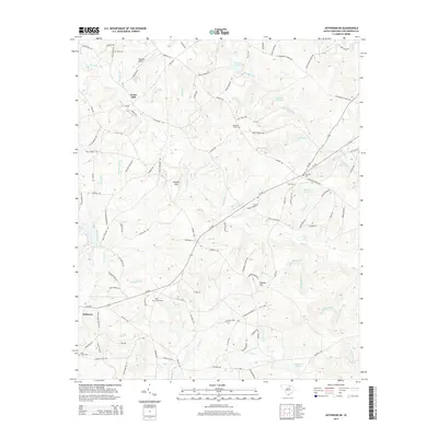
2014 Map of Jefferson NE
USGS Topo · Published 2014About this map
Evans Mill and the edge of Jefferson anchor this part of Chesterfield County, where the landscape is defined by the winding tributaries of Black Cr. The drainage patterns are intricate, with dozens of named streams such as Little Muddy Br, Panther Br, and Rattlesnake Br dissecting the terrain. Notable water management is evident at Steen Millpond and Rimes Millpond, reflecting a history of local milling along these creeks.
Find a feature on this map
128 named features on this map. Tap any name to fly to it.
Don’t see what you’re looking for? This feature index may not catch every label — zoom into the map to look around manually.
Map Details
Editions of this 2014 Jefferson NE Map
This is the sole edition of this map. No revisions or reprints were ever made.
Other maps of this area

1941 · Spartanburg
USGS Topo · 1:250,000

1953 · Spartanburg
USGS Topo · 1:250,000

1960 · Spartanburg
USGS Topo · 1:250,000

1963 · Spartanburg
USGS Topo · 1:250,000

1964 · Spartanburg
USGS Topo · 1:250,000

1967 · Angelus
USGS Topo · 1:24,000

1967 · Mount Pisgah
USGS Topo · 1:24,000

1968 · Middendorf
USGS Topo · 1:24,000

1968 · Ruby
USGS Topo · 1:24,000

1968 · Jefferson
USGS Topo · 1:24,000