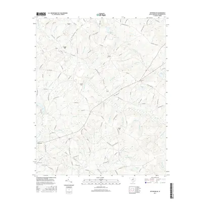
2017 Map of Jefferson NE
USGS Topo · Published 2017About this map
Evans Mill and the southern edge of the Pageland Airport anchor the landscape of northern Chesterfield County in this 2017 study. The area is defined by a dense network of small watercourses, including Black Cr, Rocky Br, and Little Black Cr, which carved the terrain long before modern infrastructure. Rural life is traced through several millponds like Jordans Pond and Steen Millpond, suggesting a history of local industry tied to these many branches.
Find a feature on this map
130 named features on this map. Tap any name to fly to it.
Don’t see what you’re looking for? This feature index may not catch every label — zoom into the map to look around manually.
Map Details
Editions of this 2017 Jefferson NE Map
This is the sole edition of this map. No revisions or reprints were ever made.
Other maps of this area

1941 · Spartanburg
USGS Topo · 1:250,000

1953 · Spartanburg
USGS Topo · 1:250,000

1960 · Spartanburg
USGS Topo · 1:250,000

1963 · Spartanburg
USGS Topo · 1:250,000

1964 · Spartanburg
USGS Topo · 1:250,000

1967 · Angelus
USGS Topo · 1:24,000

1967 · Mount Pisgah
USGS Topo · 1:24,000

1968 · Middendorf
USGS Topo · 1:24,000

1968 · Ruby
USGS Topo · 1:24,000

1968 · Jefferson
USGS Topo · 1:24,000