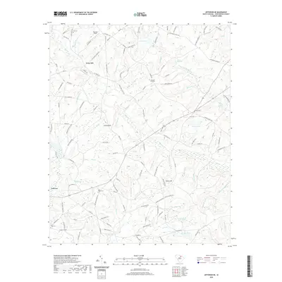
2020 Map of Jefferson NE
USGS Topo · Published 2020About this map
The settlement of Evans Mill and the outskirts of Jefferson anchor this portion of Chesterfield County, characterized by a dense network of family-named roads and watercourses. Small millponds like Steen Millpond and Rimes Millpond reflect the traditional water-powered industry of the region, while the Pageland Airport represents modern infrastructure. The landscape is marked by distinct elevations such as Jumping Hills and Hebron Hill, with numerous cemeteries including Zion Cem and Old Mount Olive Cem providing critical data points for genealogical research. A complex system of creeks, such as Black Cr, Little Black Cr, and Rocky Cr, flows through the area, defining the local topography. This geography of small communities and rural intersections reveals a persistent pattern of land use where historic family names like Jordan, Horton, and Pickett are preserved in the current road network.
Find a feature on this map
129 named features on this map. Tap any name to fly to it.
Don’t see what you’re looking for? This feature index may not catch every label — zoom into the map to look around manually.
Map Details
Editions of this 2020 Jefferson NE Map
This is the sole edition of this map. No revisions or reprints were ever made.
Other maps of this area

1941 · Spartanburg
USGS Topo · 1:250,000

1953 · Spartanburg
USGS Topo · 1:250,000

1960 · Spartanburg
USGS Topo · 1:250,000

1963 · Spartanburg
USGS Topo · 1:250,000

1964 · Spartanburg
USGS Topo · 1:250,000

1967 · Angelus
USGS Topo · 1:24,000

1967 · Mount Pisgah
USGS Topo · 1:24,000

1968 · Middendorf
USGS Topo · 1:24,000

1968 · Ruby
USGS Topo · 1:24,000

1968 · Jefferson
USGS Topo · 1:24,000