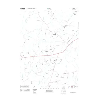
2013 Map of Jeffersonton
USGS Topo · Published 2013About this map
The Rappahannock River meanders through this landscape, serving as a historic boundary and central corridor for the surrounding communities of Culpeper and Fauquier counties. The historic crossing at Waterloo, featuring the Waterloo Bridge, highlights the traditional importance of river fords and early infrastructure in this part of Virginia. Nearby, the community of Jeffersonton and the village of Amissville are connected by a network of rural roads that trace old property lines and natural topography.
Find a feature on this map
117 named features on this map. Tap any name to fly to it.
Don’t see what you’re looking for? This feature index may not catch every label — zoom into the map to look around manually.
Map Details
Editions of this 2013 Jeffersonton Map
This is the sole edition of this map. No revisions or reprints were ever made.
Other maps of this area

1893 · Luray
USGS Topo · 1:125,000

1894 · Warrenton
USGS Topo · 1:125,000

1894 · Warrenton
USGS Topo · 1:62,500

1905 · Luray
USGS Topo · 1:125,000

1927 · Remington
USGS Topo · 1:48,000

1930 · Warrenton
USGS Topo · 1:62,500

1939 · Front Royal
USGS Topo · 1:48,000

1943 · Orlean
USGS Topo · 1:24,000

1943 · Marshall
USGS Topo · 1:24,000
1944 · Marshall
USGS Topo · 1:31,680