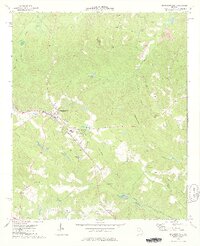
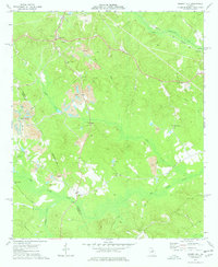
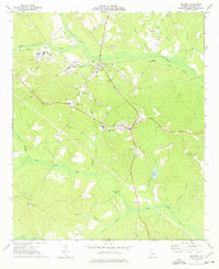
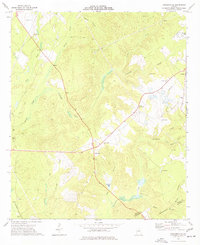
1974 Map of Jeffersonville
USGS Topo · Published 1977About this map
Jeffersonville serves as the focal point of this mid-1970s survey, situated along the Seaboard Coast Line railroad and a significant northwest-to-southeast Pipeline. The landscape is a network of small watercourses and family-named landmarks, such as Hamrick Lake and McCallum Pond, indicating a rural community structure deeply tied to its land and local industry. Evidence of the region's geologic utility is seen in the numerous claypits and extraction sites scattered northeast of the town center near Porter Branch.
Find a feature on this map
31 named features on this map. Tap any name to fly to it.
Don’t see what you’re looking for? This feature index may not catch every label — zoom into the map to look around manually.
Map Details
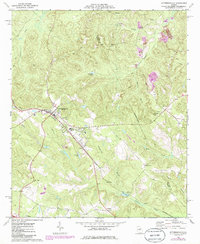
Editions of this 1974 Jeffersonville Map
2 editions found
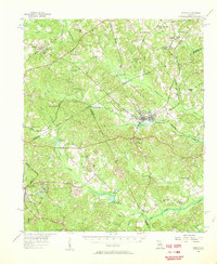
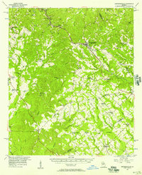
Other maps of this area

1916 · Irwinton
USGS Topo · 1:62,500

1920 · Irwinton
USGS Topo · 1:62,500
1956 · Gordon
USGS Topo · 1:62,500
1956 · Jeffersonville
USGS Topo · 1:62,500

1957 · Macon
USGS Topo · 1:250,000

1958 · Macon
USGS Topo · 1:250,000

1964 · Macon
USGS Topo · 1:250,000
1973 · Massey Hill
USGS Topo · 1:24,000
1973 · Irwinton
USGS Topo · 1:24,000
1973 · Tarversville
USGS Topo · 1:24,000