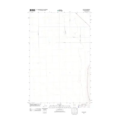
2013 Map of Jelle NE
USGS Topo · Published 2013About this map
State Highway Mn-89 cuts diagonally across the northeast corner of this northern Minnesota landscape, serving as the primary corridor for the region's scattered rural residency. This 2013 survey of Beltrami County reflects a low-density, agrarian layout defined by a rigid section-line road grid that navigates around numerous wetlands and low-lying areas. Local travel is facilitated by named routes such as Korstad Rd NW in the west and Saltviet Ave in the north, which provide access to the remote interior. The map shows the organized but sparse development of the area, where east-west routes like Van Pelt St and Swenson St connect smaller arterial roads including Richardson Rd NW and Loberg Rd NW. The terrain remains largely open and natural, with minimal human infrastructure beyond the established network of county roads.
Find a feature on this map
8 named features on this map. Tap any name to fly to it.
Don’t see what you’re looking for? This feature index may not catch every label — zoom into the map to look around manually.
Map Details
Editions of this 2013 Jelle NE Map
This is the sole edition of this map. No revisions or reprints were ever made.
Other maps of this area

1918 · F
USGS Topo · 1:62,500

1918 · Malcolm
USGS Topo · 1:62,500

1918 · Jelle
USGS Topo · 1:62,500

1954 · Roseau
USGS Topo · 1:250,000

1957 · Roseau
USGS Topo · 1:250,000

1958 · Roseau
USGS Topo · 1:250,000

1973 · Mosquito Creek
USGS Topo · 1:24,000
1973 · Cahill Lake
USGS Topo · 1:24,000

1973 · Jelle NE
USGS Topo · 1:24,000

1973 · Thorhult
USGS Topo · 1:24,000