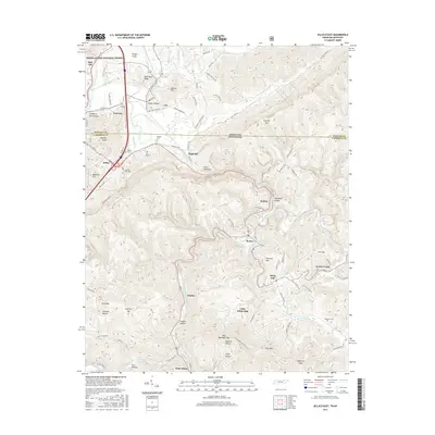
2016 Map of Jellico East
USGS Topo · Published 2016About this map
The town of Jellico sits along the Kentucky Tennessee state line, where the ridge and valley topography of the Cumberland Mountains dictates the path of every road and settlement. In this 2016 survey, narrow hollows like Slaughter Pen Hollow and Perkins Hollow are punctuated by family burial grounds, including Gibson Cem and Bowlin Cem, reflecting a long-standing pattern of localized mountain communities. The dramatic rise of Pine Mountain dominates the center of the sheet, forcing transportation corridors through gaps such as Gravely Gap. To the north, the Daniel Boone National Forest protects the headwaters of the Clear Fork, while southern settlements like Habersham and Chaska follow the winding course of Hickory Creek. This landscape illustrates the enduring influence of terrain on Appalachian life, from the clustered housing in Morley to the high-elevation cemeteries of the surrounding ridges.
Find a feature on this map
102 named features on this map. Tap any name to fly to it.
Don’t see what you’re looking for? This feature index may not catch every label — zoom into the map to look around manually.
Map Details
Editions of this 2016 Jellico East Map
This is the sole edition of this map. No revisions or reprints were ever made.
Other maps of this area

1886 · Cumberland Gap
USGS Topo · 1:125,000

1888 · Cumberland Gap
USGS Topo · 1:125,000

1890 · Williamsburg
USGS Topo · 1:125,000

1891 · Cumberland Gap
USGS Topo · 1:125,000

1893 · Briceville
USGS Topo · 1:125,000

1894 · Williamsburg
USGS Topo · 1:125,000

1895 · Briceville
USGS Topo · 1:125,000

1896 · Briceville
USGS Topo · 1:125,000

1897 · Maynardville
USGS Topo · 1:125,000

1900 · Maynardville
USGS Topo · 1:125,000