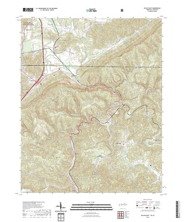
2022 Map of Jellico East
USGS Topo · Published 2022About this map
Pine Mountain dominates the central landscape of this survey, serving as a massive topographical barrier between the northern settlements and the winding hollows to the south. Along the border of Whitley Co and Campbell Co, the communities of Jellico, Highcliff, and Lot sit at the foot of Heckler Knob. For genealogists, the map preserves the locations of several family-named burial grounds, including Chadwell Cem and Perkins Cem, tucked into the hillsides away from the primary road network.
Find a feature on this map
97 named features on this map. Tap any name to fly to it.
Don’t see what you’re looking for? This feature index may not catch every label — zoom into the map to look around manually.
Map Details
Editions of this 2022 Jellico East Map
This is the sole edition of this map. No revisions or reprints were ever made.
Other maps of this area

1886 · Cumberland Gap
USGS Topo · 1:125,000

1888 · Cumberland Gap
USGS Topo · 1:125,000

1890 · Williamsburg
USGS Topo · 1:125,000

1891 · Cumberland Gap
USGS Topo · 1:125,000

1893 · Briceville
USGS Topo · 1:125,000

1894 · Williamsburg
USGS Topo · 1:125,000

1895 · Briceville
USGS Topo · 1:125,000

1896 · Briceville
USGS Topo · 1:125,000

1897 · Maynardville
USGS Topo · 1:125,000

1900 · Maynardville
USGS Topo · 1:125,000