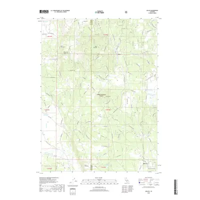
2018 Map of Jellico
USGS Topo · Published 2018About this map
Lassen National Forest covers much of this high-elevation landscape on the border of Shasta and Lassen counties, dominated by volcanic features and water management infrastructure. The terrain is defined by the massive Hat Creek Rim and the Butte Creek Rim, overlooking drainages that feed into a network of livestock or irrigation reservoirs like Bainbridge Reservoir, Freebe Reservoir, and Beaver Cr Reservoir.
Find a feature on this map
91 named features on this map. Tap any name to fly to it.
Don’t see what you’re looking for? This feature index may not catch every label — zoom into the map to look around manually.
Map Details
Editions of this 2018 Jellico Map
This is the sole edition of this map. No revisions or reprints were ever made.
Other maps of this area

1886 · Lassen Peak
USGS Topo · 1:250,000

1892 · Lassen Peak
USGS Topo · 1:250,000

1894 · Lassen Peak
USGS Topo · 1:250,000

1939 · Halls Flat
USGS Topo · 1:125,000

1955 · Westwood
USGS Topo · 1:250,000

1956 · Harvey Mtn
USGS Topo · 1:62,500

1957 · Prospect Peak
USGS Topo · 1:62,500

1957 · Little Valley
USGS Topo · 1:62,500

1957 · Jellico
USGS Topo · 1:62,500

1958 · Westwood
USGS Topo · 1:250,000