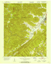
1953 Map of Jellico West
USGS Topo · Published 1954About this map
Southern Railway tracks parallel the water through this segment of the Appalachian coal country, connecting industrial hubs and small mountain settlements during the early 1950s. The landscape is defined by the sharp topography of Pine Mountain and Point Ridge, where extractive industry and community life were closely intertwined. Evidence of this coal economy is visible at the Standard Mine and the presence of an Old Railroad Grade winding through the hollows near Wooldridge.
Find a feature on this map
56 named features on this map. Tap any name to fly to it.
Don’t see what you’re looking for? This feature index may not catch every label — zoom into the map to look around manually.
Map Details
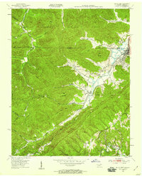
Editions of this 1953 Jellico West Map
2 editions found
Other maps of this area

1890 · Williamsburg
USGS Topo · 1:125,000

1893 · Briceville
USGS Topo · 1:125,000

1894 · Williamsburg
USGS Topo · 1:125,000

1895 · Briceville
USGS Topo · 1:125,000

1896 · Briceville
USGS Topo · 1:125,000

1936 · Ivydell
USGS Topo · 1:24,000

1936 · Pioneer
USGS Topo · 1:24,000

1936 · La Follette
USGS Topo · 1:48,000
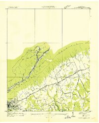
1936 · La Follette
USGS Topo · 1:24,000
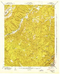
1946 · Ivydell
USGS Topo · 1:24,000