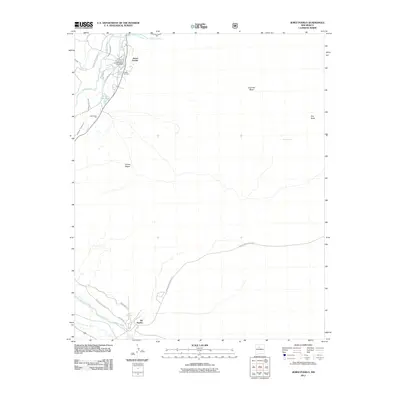
2011 Map of Jemez Pueblo
USGS Topo · Published 2011About this map
Jemez Pueblo and Zia Pueblo define this high-desert landscape in the early 21st century, where human settlement follows the vital lifelines of the Jemez River and Vallecito Creek. The map documents a sophisticated irrigation network essential to this arid region, including the East Side Canal, the Zia South Side Canal, and the Anthony Pecos Ditch. These waterways support local life near landmarks like the Jemez Pueblo Post Office and Indian Springs.
Find a feature on this map
21 named features on this map. Tap any name to fly to it.
Don’t see what you’re looking for? This feature index may not catch every label — zoom into the map to look around manually.
Map Details
Editions of this 2011 Jemez Pueblo Map
This is the sole edition of this map. No revisions or reprints were ever made.
Other maps of this area

1888 · Bernalillo
USGS Topo · 1:125,000

1889 · Albuquerque
USGS Topo · 1:125,000

1890 · Jemes
USGS Topo · 1:125,000

1892 · Jemes
USGS Topo · 1:125,000

1893 · Albuquerque
USGS Topo · 1:125,000

1939 · San Ysidro
USGS Topo · 1:62,500

1943 · San Ysidro
USGS Topo · 1:62,500

1943 · Jemez
USGS Topo · 1:62,500

1952 · Jemez
USGS Topo · 1:62,500

1953 · Bernalillo NW
USGS Topo · 1:24,000