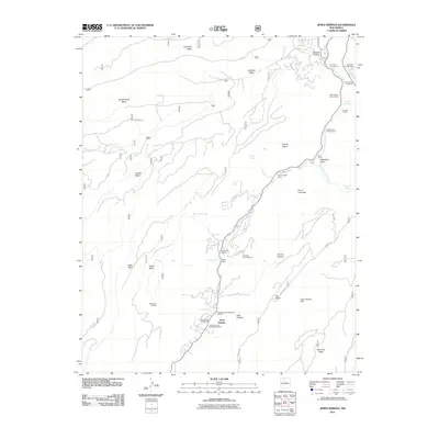
2011 Map of Jemez Springs
USGS Topo · Published 2011About this map
Jemez Springs serves as the focal point of this 2011 survey, situated along the Jemez River where canyon walls and geothermal activity shape the landscape. The village contains essential local landmarks including the Jemez Springs Post Office and the Jemez Springs Catholic Cemetery, reflecting a community deeply tied to its geography. The area is notable for its hydrothermal features, such as the Soda Dam, Soda Dam Springs, and the well-known Jemez Hot Springs.
Find a feature on this map
50 named features on this map. Tap any name to fly to it.
Don’t see what you’re looking for? This feature index may not catch every label — zoom into the map to look around manually.
Map Details
Editions of this 2011 Jemez Springs Map
This is the sole edition of this map. No revisions or reprints were ever made.
Other maps of this area

1890 · Jemes
USGS Topo · 1:125,000

1892 · Jemes
USGS Topo · 1:125,000

1937 · Jemez Springs
USGS Topo · 1:48,000

1939 · La Ventana
USGS Topo · 1:62,500

1939 · San Ysidro
USGS Topo · 1:62,500

1943 · San Ysidro
USGS Topo · 1:62,500

1943 · Jemez
USGS Topo · 1:62,500

1943 · La Ventana
USGS Topo · 1:62,500

1944 · Jemez Springs
USGS Topo · 1:62,500

1952 · Jemez Springs
USGS Topo · 1:62,500