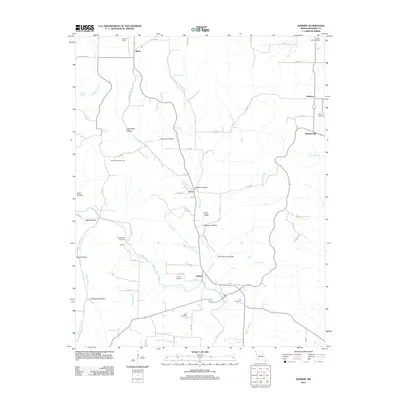
2012 Map of Jenkins
USGS Topo · Published 2012About this map
Flat Creek and Jenkins Creek converge near the community of Jenkins, defining a landscape of narrow valleys and winding hollows in this corner of Barry County. The settlement pattern is characterized by small, dispersed communities like Leann, Scholten, and Wheelerville, linked by a network of forest roads and local lanes. Several family and community burial grounds, including Mars Hill Cemetery, Potter Cemetery, and Clio Cemetery, are scattered throughout the hills, providing valuable locations for genealogical research.
Find a feature on this map
68 named features on this map. Tap any name to fly to it.
Don’t see what you’re looking for? This feature index may not catch every label — zoom into the map to look around manually.
Map Details
Editions of this 2012 Jenkins Map
This is the sole edition of this map. No revisions or reprints were ever made.
Other maps of this area

1927 · Shell Knob
USGS Topo · 1:62,500

1937 · Cassville
USGS Topo · 1:48,000

1942 · Aurora
USGS Topo · 1:62,500

1943 · Monett
USGS Topo · 1:62,500

1944 · Cassville
USGS Topo · 1:62,500

1945 · Harrison
USGS Topo · 1:250,000

1945 · Aurora
USGS Topo · 1:62,500

1949 · Harrison
USGS Topo · 1:250,000

1950 · Shell Knob
USGS Topo · 1:62,500

1954 · Harrison
USGS Topo · 1:250,000