Loading...
Loading map...2022 Map of Jennings
USGS Topo · Published 2022About this map
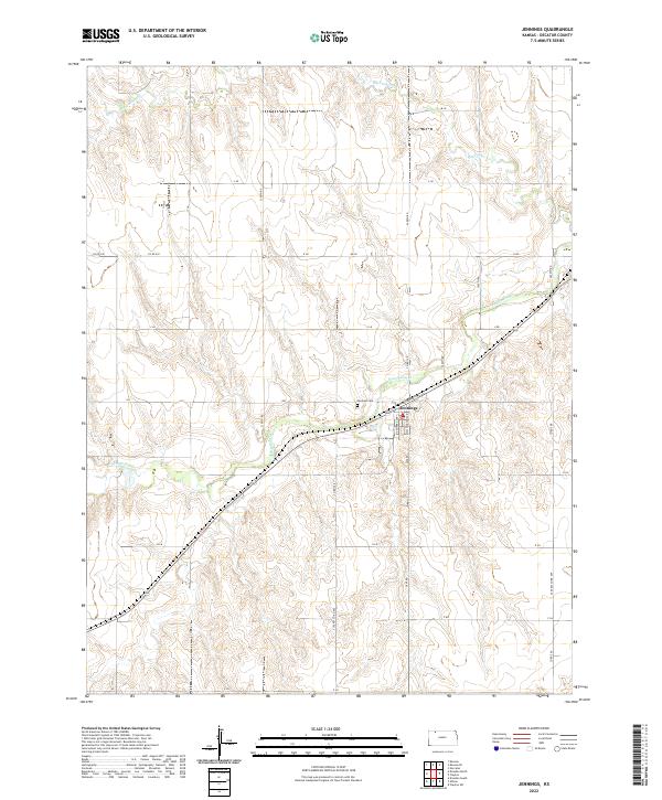
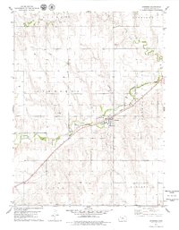
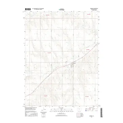
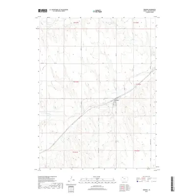
Jennings serves as the central hub of this Decatur County landscape, situated where the high plains meet the winding valley of Prairie Dog Cr. The town's grid is clearly defined by local thoroughfares such as S Topeka Ave, S Washington Ave, and the aptly named Railroad St, which runs parallel to the transit corridor cutting diagonally across the region. Just northwest of the town center lies the Jennings Cem, a significant site for local genealogical research.
Find a feature on this map
25 named features on this map. Tap any name to fly to it.
Don’t see what you’re looking for? This feature index may not catch every label — zoom into the map to look around manually.
Map Details
Date Portrayed2022
Date Published2022
PublisherU.S. Geological Survey
Map TypeTopographic
Scale1:24,000
Physical Dimensions24 x 29 inches
Editions of this 2022 Jennings Map
This is the sole edition of this map. No revisions or reprints were ever made.
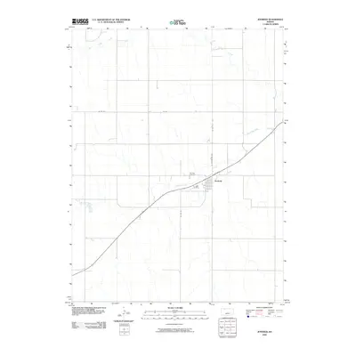
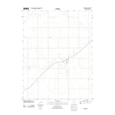
Historical Maps of Jennings Through Time
6 maps found
Featured Locations
Source Details
SourceU.S. Geological Survey
CopyrightPublic Domain