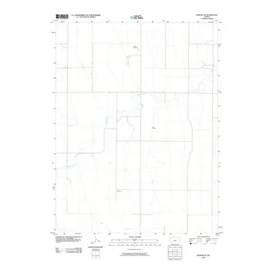
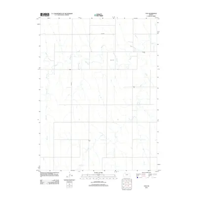
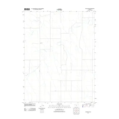
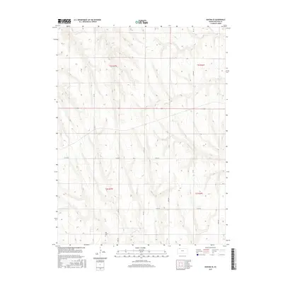
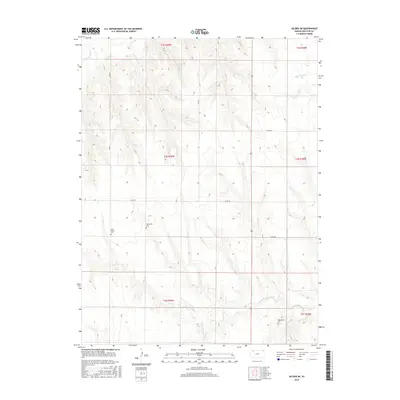
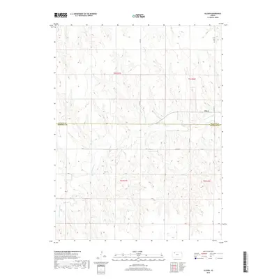
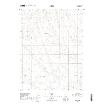
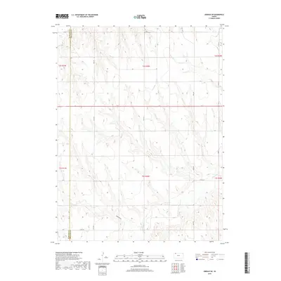
1965 Map of Kanona SE
USGS Topo · Published 1966About this map
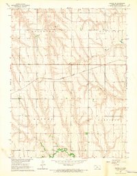
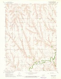
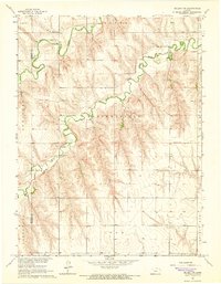
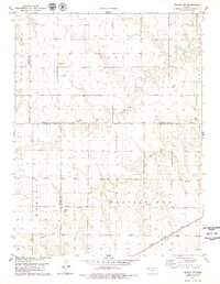
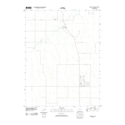
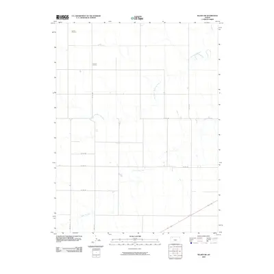
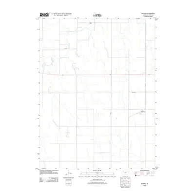
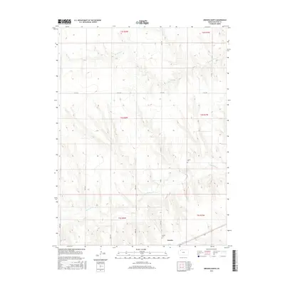
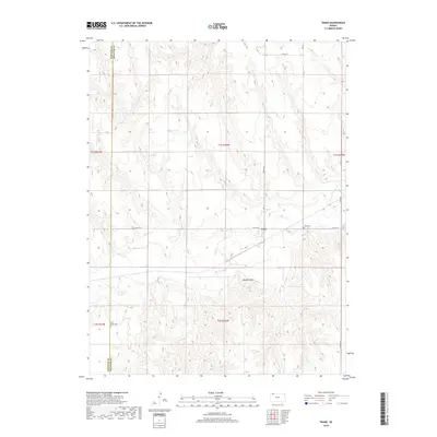
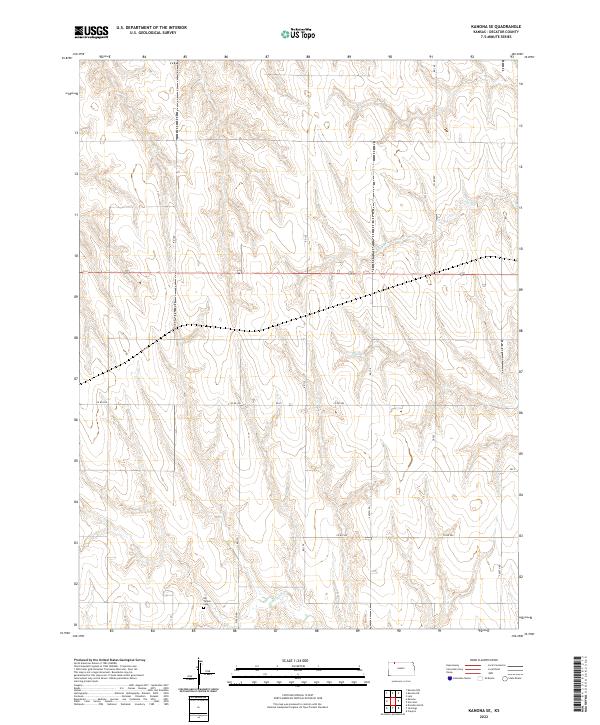
Big Timber Creek and its tributaries carve a distinctive drainage pattern across this Decatur County landscape, defining the rural character of northwest Kansas in the mid-1960s. The northern reaches of the quadrangle are marked by the Chicago Burlington and Quincy railroad, which cuts a straight path across the terrain, serving as a vital link for the agricultural economy of the era. The land is organized into distinct townships including Roosevelt, Lincoln, Altory, and Garfield, reflecting the orderly grid of the Great Plains. Scattered signs of resource extraction appear, such as a solitary oil well in the northwest, while local heritage is anchored by the Big Timber Cem situated near the banks of its namesake creek. Waterways like Plum Creek and Long Branch provide the primary natural relief in this primarily agrarian expanse, where the transition between high plains and creek bottoms dictates the placement of roads and homesteads.
Find a feature on this map
10 named features on this map. Tap any name to fly to it.
Don’t see what you’re looking for? This feature index may not catch every label — zoom into the map to look around manually.
Map Details
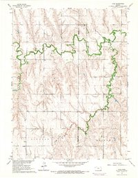
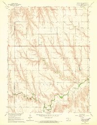
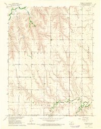
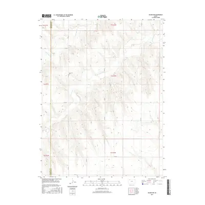
Editions of this 1965 Kanona SE Map
This is the sole edition of this map. No revisions or reprints were ever made.
Historical Maps of Decatur County Through Time
79 maps found
1951 Kanona
Decatur County, KS
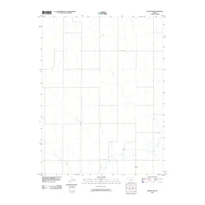
1965 Kanona
Decatur County, KS
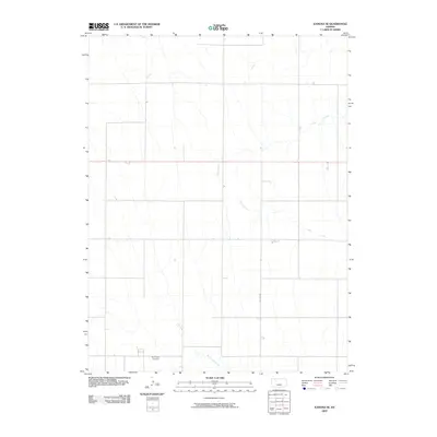
1965 Kanona NE
Decatur County, KS
1965 Kanona NW
Decatur County, KS
1965 Kanona SE
Decatur County, KS
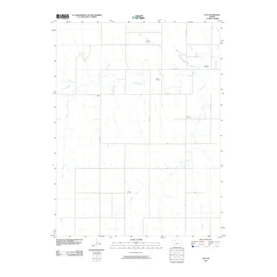
1965 Lyle
Decatur County, KS
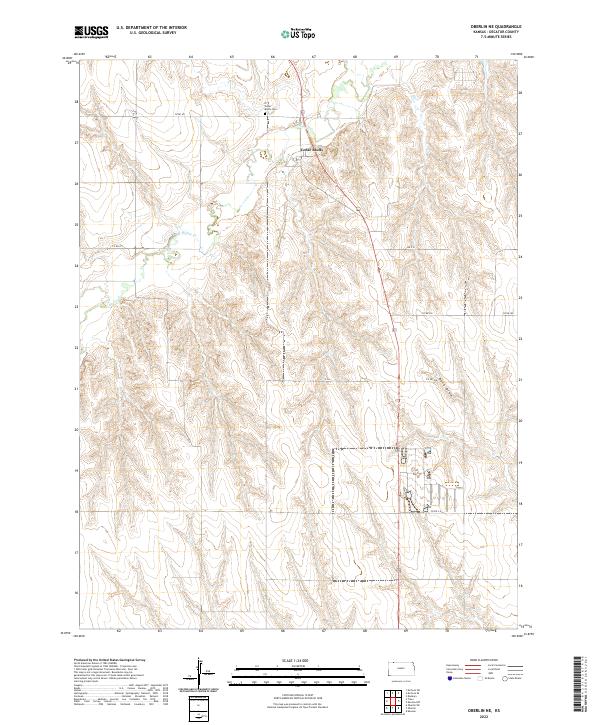
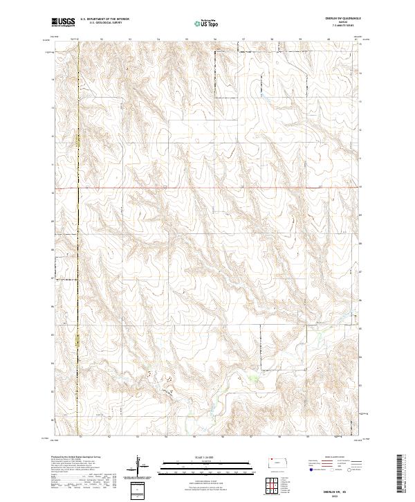
1965 Oberlin SW
Decatur County, KS
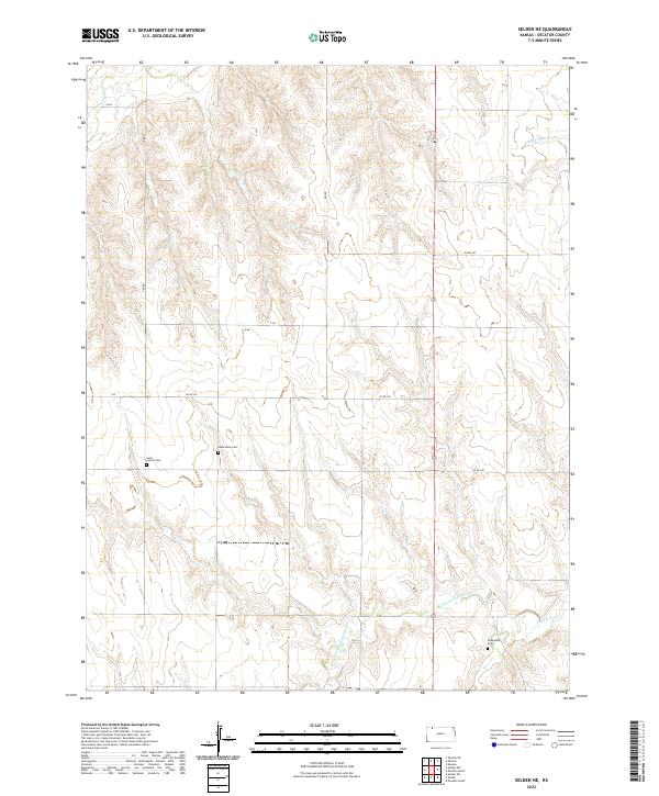
1965 Selden NE
Decatur County, KS
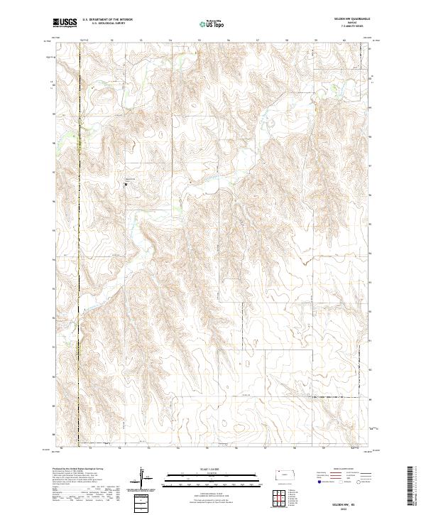
1965 Selden NW
Decatur County, KS
1978 Allison
Decatur County, KS
1978 Dresden North
Decatur County, KS
1978 Oberlin NE
Decatur County, KS
1978 Selden SW
Decatur County, KS
1978 Traer
Decatur County, KS
2009 Allison
Decatur County, KS
2009 Dresden North
Decatur County, KS

2009 Kanona
Decatur County, KS
2009 Kanona NE
Decatur County, KS
2009 Kanona NW
Decatur County, KS
2009 Kanona SE
Decatur County, KS
2009 Lyle
Decatur County, KS
2009 Oberlin NE
Decatur County, KS
2009 Oberlin SW
Decatur County, KS
2009 Selden NE
Decatur County, KS
2009 Selden NW
Decatur County, KS
2009 Selden SW
Decatur County, KS
2009 Traer
Decatur County, KS
2012 Allison
Decatur County, KS
2012 Dresden North
Decatur County, KS
2012 Kanona
Decatur County, KS
2012 Kanona NE
Decatur County, KS
2012 Kanona NW
Decatur County, KS
2012 Kanona SE
Decatur County, KS
2012 Lyle
Decatur County, KS
2012 Oberlin NE
Decatur County, KS
2012 Oberlin SW
Decatur County, KS
2012 Selden NE
Decatur County, KS
2012 Selden NW
Decatur County, KS
2012 Selden SW
Decatur County, KS
2012 Traer
Decatur County, KS
2015 Allison
Decatur County, KS
2015 Dresden North
Decatur County, KS
2015 Kanona
Decatur County, KS
2015 Kanona NE
Decatur County, KS
2015 Kanona NW
Decatur County, KS
2015 Kanona SE
Decatur County, KS
2015 Lyle
Decatur County, KS
2015 Oberlin NE
Decatur County, KS
2015 Oberlin SW
Decatur County, KS
2015 Selden NE
Decatur County, KS
2015 Selden NW
Decatur County, KS
2015 Selden SW
Decatur County, KS
2015 Traer
Decatur County, KS
2018 Allison
Decatur County, KS
2018 Dresden North
Decatur County, KS
2018 Kanona
Decatur County, KS
2018 Kanona NE
Decatur County, KS
2018 Kanona NW
Decatur County, KS
2018 Kanona SE
Decatur County, KS
2018 Lyle
Decatur County, KS
2018 Oberlin NE
Decatur County, KS
2018 Oberlin SW
Decatur County, KS
2018 Selden NE
Decatur County, KS
2018 Selden NW
Decatur County, KS
2018 Selden SW
Decatur County, KS
2018 Traer
Decatur County, KS
2022 Allison
Decatur County, KS
2022 Dresden North
Decatur County, KS
2022 Kanona
Decatur County, KS
2022 Kanona NE
Decatur County, KS
2022 Kanona NW
Decatur County, KS
2022 Kanona SE
Decatur County, KS
2022 Lyle
Decatur County, KS
2022 Oberlin NE
Decatur County, KS
2022 Oberlin SW
Decatur County, KS
2022 Selden NE
Decatur County, KS
2022 Selden NW
Decatur County, KS
2022 Selden SW
Decatur County, KS
2022 Traer
Decatur County, KS