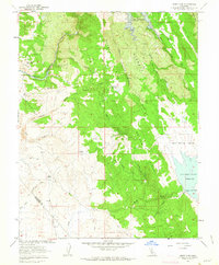
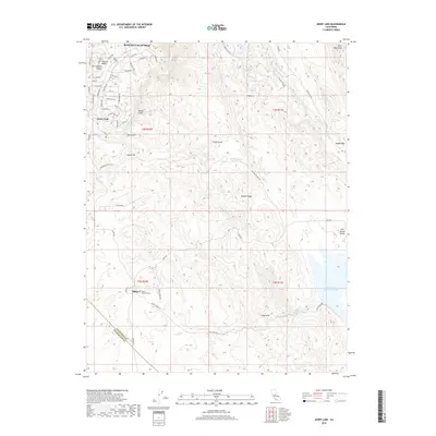
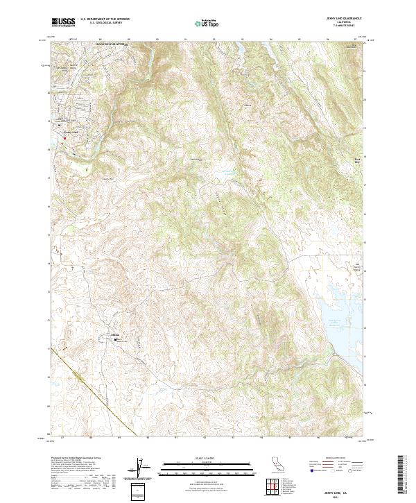
1962 Map of Jenny Lind
USGS Topo · Published 1963About this map
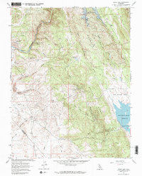
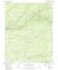
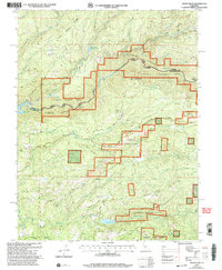
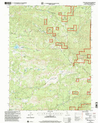
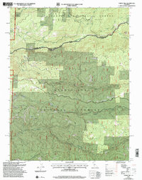
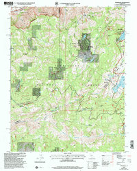
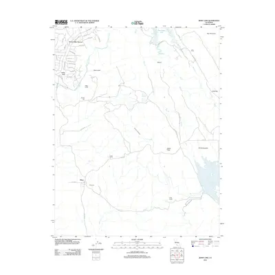
The Calaveras River and the undulating terrain of Gopher Ridge define this landscape in the early 1960s, a period marked by significant water management developments. The northern boundary is dominated by the New Hogan Reservoir and its spillway, while the southern reaches feature the Salt Spring Valley Reservoir, illustrating the transformation of the foothills to support regional irrigation. Settlement patterns center on the historic community of Jenny Lind and the town of Milton, connected by remnants of transport infrastructure like the Old Grade.
Find a feature on this map
34 named features on this map. Tap any name to fly to it.
Don’t see what you’re looking for? This feature index may not catch every label — zoom into the map to look around manually.
Map Details
Editions of this 1962 Jenny Lind Map
3 editions found
Historical Maps of Milton Through Time
56 maps found
1949 Railroad Flat
Calaveras County, CA
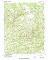
1956 Blue Mountain
Calaveras County, CA

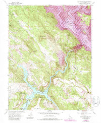
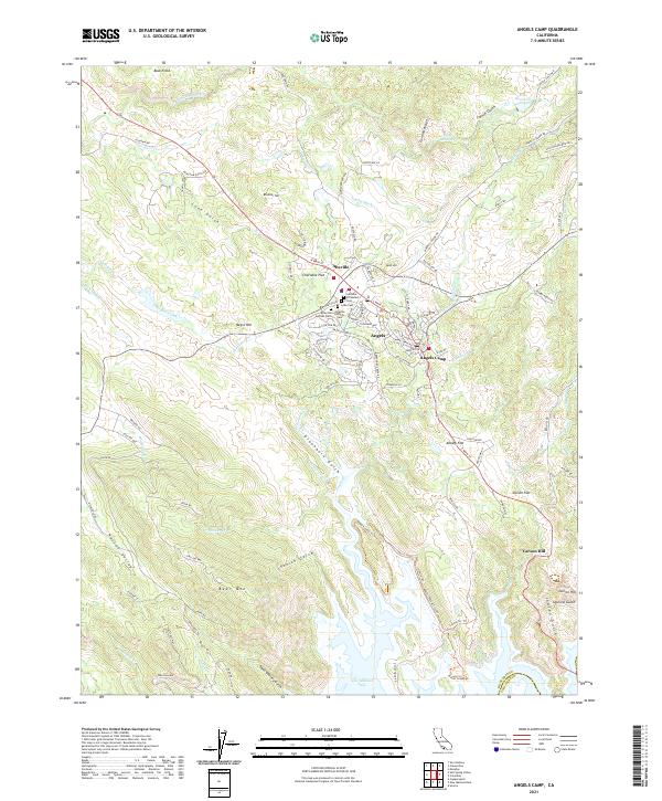
1962 Angels Camp
Calaveras County, CA
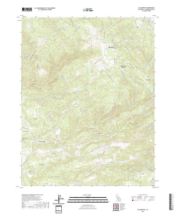
1962 Calaveritas
Calaveras County, CA
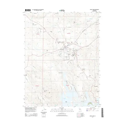
1962 Jenny Lind
Calaveras County, CA
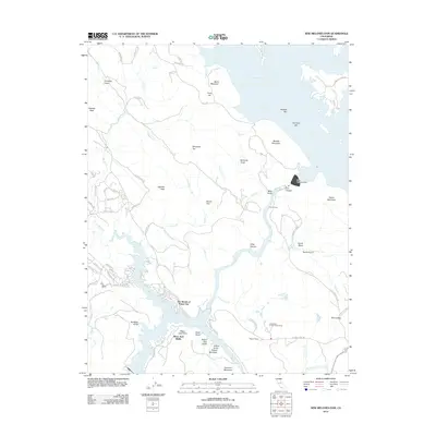
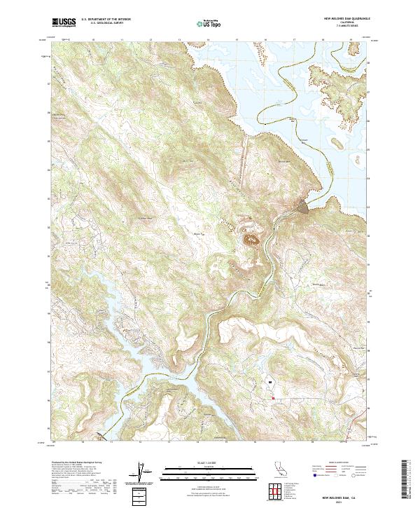
1962 New Melones Dam
Calaveras County, CA

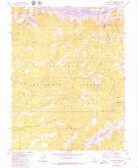
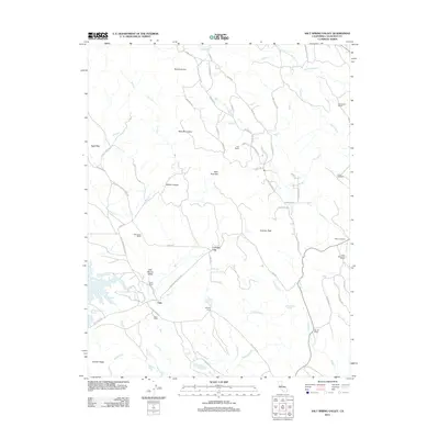
1962 Salt Spring Valley
Calaveras County, CA
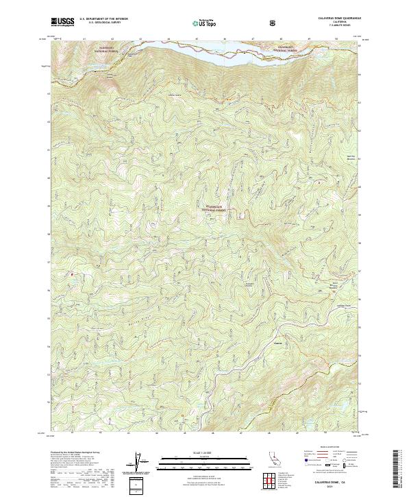
1979 Calaveras Dome
Calaveras County, CA
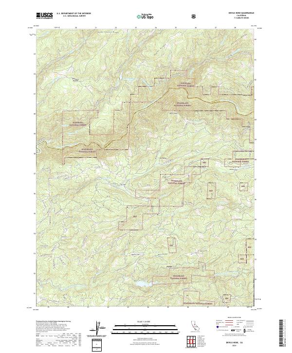
1979 Devils Nose
Calaveras County, CA
1979 Garnet Hill
Calaveras County, CA
1979 Tamarack
Calaveras County, CA
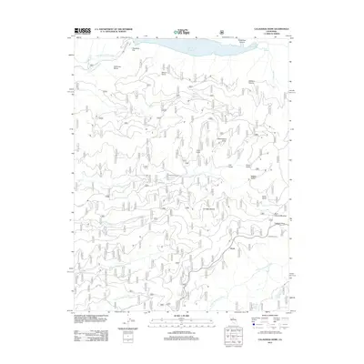
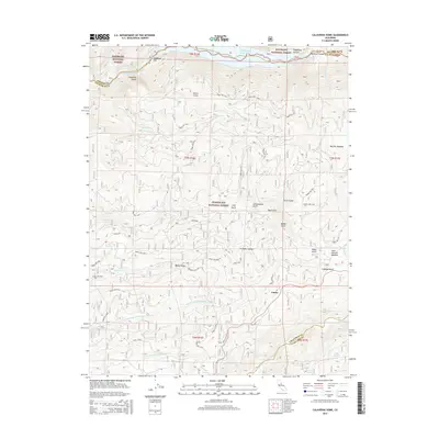
2001 Calaveras Dome
Calaveras County, CA
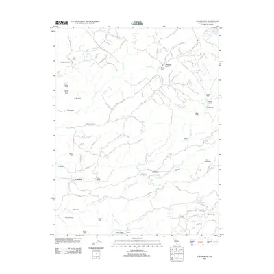
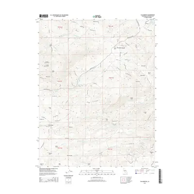
2001 Devils Nose
Calaveras County, CA
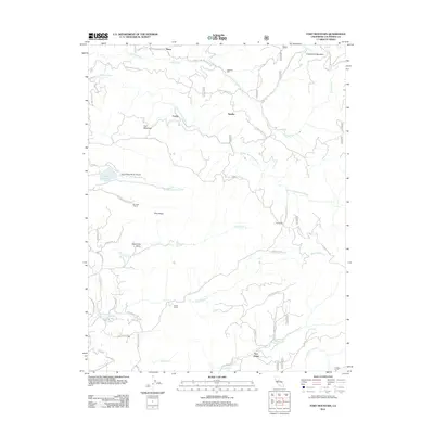
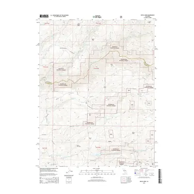
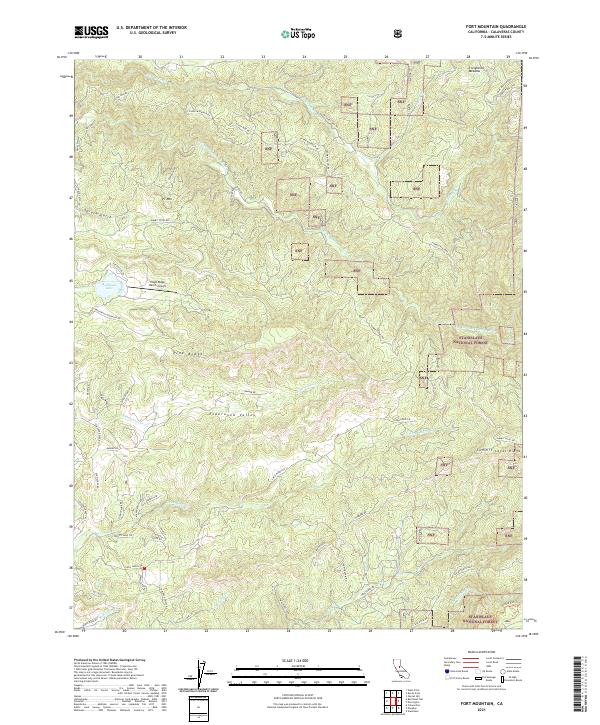
2001 Fort Mountain
Calaveras County, CA
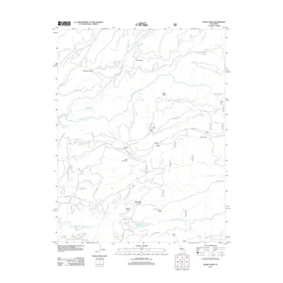
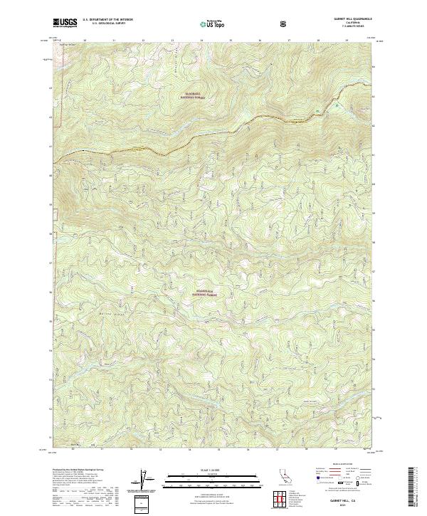
2001 Garnet Hill
Calaveras County, CA
2001 Tamarack
Calaveras County, CA

2012 Angels Camp
Calaveras County, CA
2012 Calaveras Dome
Calaveras County, CA
2012 Calaveritas
Calaveras County, CA
2012 Devils Nose
Calaveras County, CA
2012 Fort Mountain
Calaveras County, CA

2012 Garnet Hill
Calaveras County, CA
2012 Jenny Lind
Calaveras County, CA
2012 New Melones Dam
Calaveras County, CA
2012 Salt Spring Valley
Calaveras County, CA
2012 Tamarack
Calaveras County, CA
2015 Angels Camp
Calaveras County, CA
2015 Calaveras Dome
Calaveras County, CA
2015 Calaveritas
Calaveras County, CA
2015 Devils Nose
Calaveras County, CA
2015 Fort Mountain
Calaveras County, CA
2015 Garnet Hill
Calaveras County, CA
2015 Jenny Lind
Calaveras County, CA
2015 New Melones Dam
Calaveras County, CA
2015 Salt Spring Valley
Calaveras County, CA
2015 Tamarack
Calaveras County, CA
2018 Angels Camp
Calaveras County, CA
2018 Calaveras Dome
Calaveras County, CA
2018 Calaveritas
Calaveras County, CA
2018 Devils Nose
Calaveras County, CA
2018 Fort Mountain
Calaveras County, CA
2018 Garnet Hill
Calaveras County, CA
2018 Jenny Lind
Calaveras County, CA
2018 New Melones Dam
Calaveras County, CA
2018 Salt Spring Valley
Calaveras County, CA
2018 Tamarack
Calaveras County, CA
2021 Angels Camp
Calaveras County, CA
2021 Calaveras Dome
Calaveras County, CA
2021 Calaveritas
Calaveras County, CA
2021 Devils Nose
Calaveras County, CA
2021 Fort Mountain
Calaveras County, CA
2021 Garnet Hill
Calaveras County, CA
2021 Jenny Lind
Calaveras County, CA
2021 New Melones Dam
Calaveras County, CA
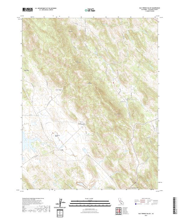
2021 Salt Spring Valley
Calaveras County, CA
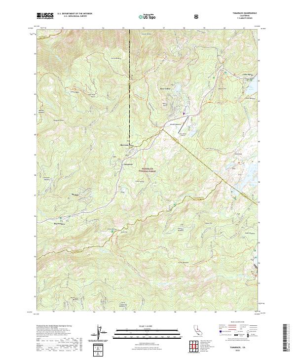
2022 Tamarack
Calaveras County, CA