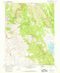
1962 Map of Jenny Lind
USGS Topo · Published 1969About this map
Gopher Ridge divides the landscape where the foothills meet the valley floor in the early 1960s. To the west, the Calaveras River winds past the historic settlement of Jenny Lind and the Plymouth Rock Mine, where extensive Tailings deposits reveal the area's gold-mining legacy. This survey captures a significant moment in California water management, showing areas slated for inundation by the New Hogan Reservoir and the established Salt Spring Valley Reservoir to the east.
Find a feature on this map
39 named features on this map. Tap any name to fly to it.
Don’t see what you’re looking for? This feature index may not catch every label — zoom into the map to look around manually.
Map Details
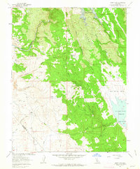
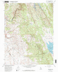
Editions of this 1962 Jenny Lind Map
3 editions found
Other maps of this area

1889 · Jackson
USGS Topo · 1:125,000

1892 · Jackson
USGS Topo · 1:125,000

1897 · Jackson
USGS Topo · 1:125,000

1902 · Jackson
USGS Topo · 1:125,000

1915 · Trigo
USGS Topo · 1:31,680

1916 · Bachelor Valley
USGS Topo · 1:31,680

1916 · Copperopolis
USGS Topo · 1:62,500

1942 · Farmington
USGS Topo · 1:62,500

1942 · Copperopolis
USGS Topo · 1:62,500

1944 · Valley Springs
USGS Topo · 1:62,500