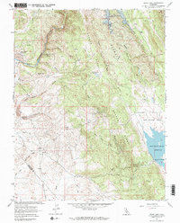
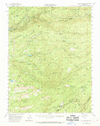
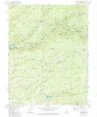
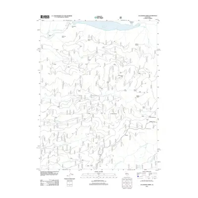
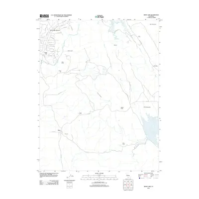
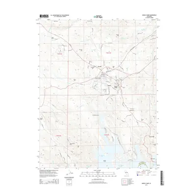
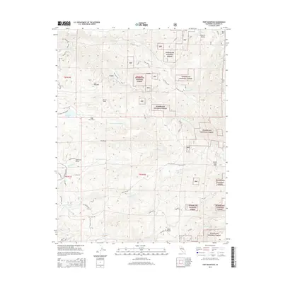
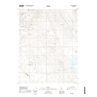
1962 Map of Jenny Lind
USGS Topo · Published 1969About this map
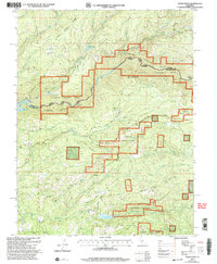
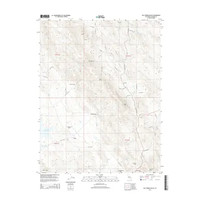
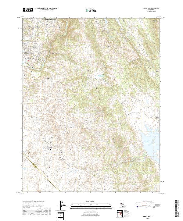
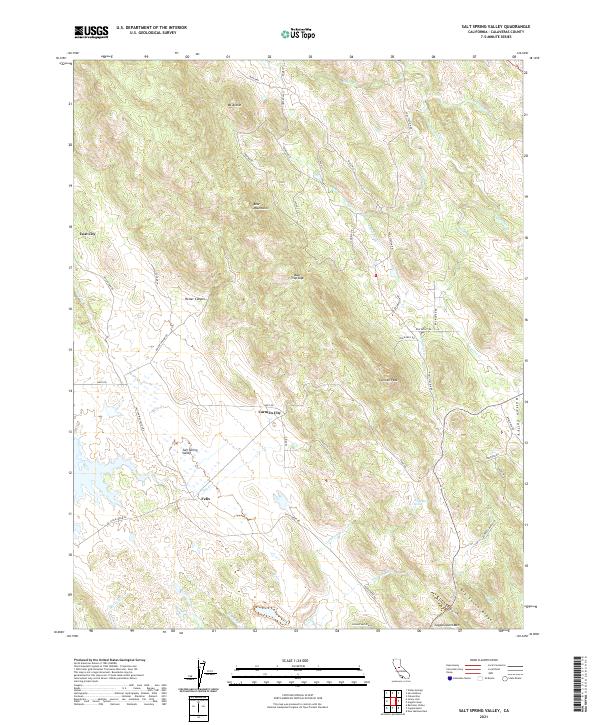
The Calaveras River winds through this landscape, marking the transition from the rolling terrain near Jenny Lind to the prominent heights of Gopher Ridge. This era captures a shifting water economy, evidenced by the presence of both the Old McCormick Reservoir and the extensive blue hatching of the New Hogan Reservoir, which identifies areas destined for submergence at higher elevations. To the south, the settlement of Milton sits near the Stanislaus County line, connected to the surrounding hills by an Old Railroad Grade that speaks to the region's earlier industrial peak. Mining remains a visible part of the geography, with the Plymouth Rock Mine and McCarty Mine located among the deep gulches and ridges. Family histories are rooted in properties like Tower Ranch and Gann Ranch, while the expansive Salt Spring Valley Reservoir dominates the southeastern quadrant.
Find a feature on this map
28 named features on this map. Tap any name to fly to it.
Don’t see what you’re looking for? This feature index may not catch every label — zoom into the map to look around manually.
Map Details
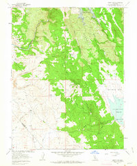
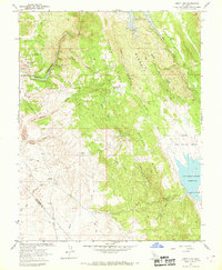
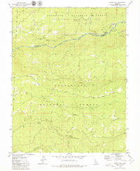
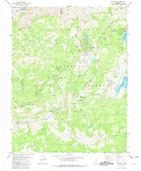
Editions of this 1962 Jenny Lind Map
3 editions found
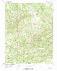
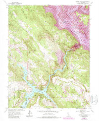
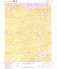
Historical Maps of Milton Through Time
56 maps found
1949 Railroad Flat
Calaveras County, CA
1956 Blue Mountain
Calaveras County, CA

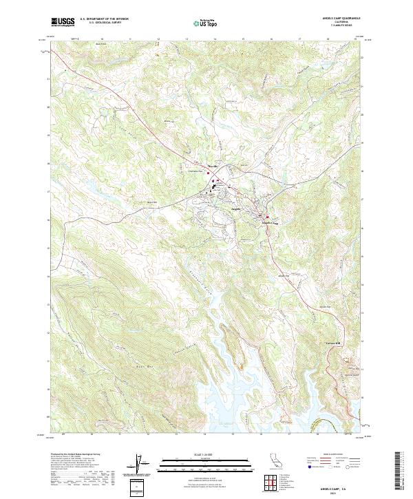
1962 Angels Camp
Calaveras County, CA
1962 Calaveritas
Calaveras County, CA
1962 Jenny Lind
Calaveras County, CA
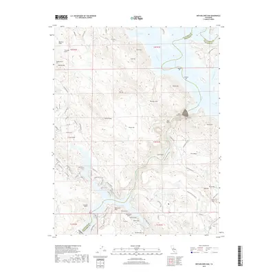
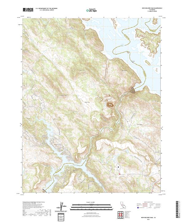
1962 New Melones Dam
Calaveras County, CA

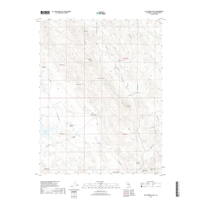
1962 Salt Spring Valley
Calaveras County, CA
1979 Calaveras Dome
Calaveras County, CA
1979 Devils Nose
Calaveras County, CA
1979 Garnet Hill
Calaveras County, CA
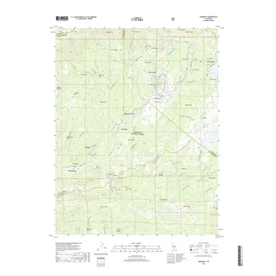
1979 Tamarack
Calaveras County, CA
2001 Calaveras Dome
Calaveras County, CA
2001 Devils Nose
Calaveras County, CA
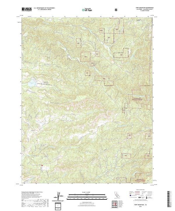
2001 Fort Mountain
Calaveras County, CA
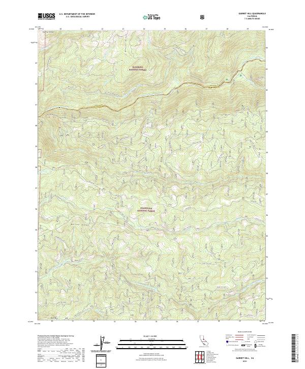
2001 Garnet Hill
Calaveras County, CA
2001 Tamarack
Calaveras County, CA

2012 Angels Camp
Calaveras County, CA
2012 Calaveras Dome
Calaveras County, CA
2012 Calaveritas
Calaveras County, CA
2012 Devils Nose
Calaveras County, CA
2012 Fort Mountain
Calaveras County, CA

2012 Garnet Hill
Calaveras County, CA
2012 Jenny Lind
Calaveras County, CA
2012 New Melones Dam
Calaveras County, CA
2012 Salt Spring Valley
Calaveras County, CA
2012 Tamarack
Calaveras County, CA
2015 Angels Camp
Calaveras County, CA
2015 Calaveras Dome
Calaveras County, CA
2015 Calaveritas
Calaveras County, CA
2015 Devils Nose
Calaveras County, CA
2015 Fort Mountain
Calaveras County, CA
2015 Garnet Hill
Calaveras County, CA
2015 Jenny Lind
Calaveras County, CA
2015 New Melones Dam
Calaveras County, CA
2015 Salt Spring Valley
Calaveras County, CA
2015 Tamarack
Calaveras County, CA
2018 Angels Camp
Calaveras County, CA
2018 Calaveras Dome
Calaveras County, CA
2018 Calaveritas
Calaveras County, CA
2018 Devils Nose
Calaveras County, CA
2018 Fort Mountain
Calaveras County, CA
2018 Garnet Hill
Calaveras County, CA
2018 Jenny Lind
Calaveras County, CA
2018 New Melones Dam
Calaveras County, CA
2018 Salt Spring Valley
Calaveras County, CA
2018 Tamarack
Calaveras County, CA
2021 Angels Camp
Calaveras County, CA
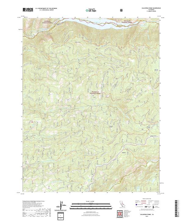
2021 Calaveras Dome
Calaveras County, CA
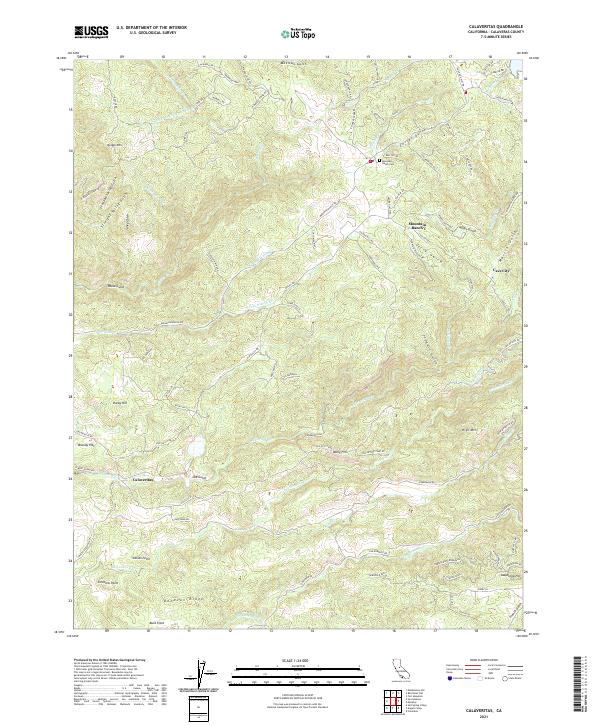
2021 Calaveritas
Calaveras County, CA
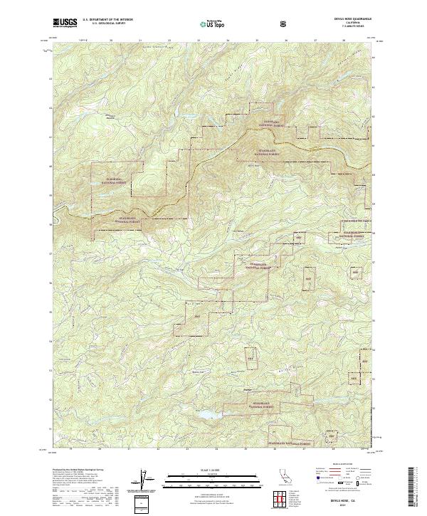
2021 Devils Nose
Calaveras County, CA
2021 Fort Mountain
Calaveras County, CA
2021 Garnet Hill
Calaveras County, CA
2021 Jenny Lind
Calaveras County, CA
2021 New Melones Dam
Calaveras County, CA
2021 Salt Spring Valley
Calaveras County, CA
2022 Tamarack
Calaveras County, CA