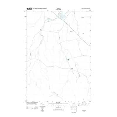
2013 Map of Jericho
USGS Topo · Published 2013About this map
Jericho and the surrounding Clinton County highlands are defined by a complex network of waterways feeding into the Great Chazy River. In this part of the northern Adirondack foothills, early settlements like Purdys Mill and Alder Bend reflect a landscape shaped by small-scale industry and forestry along Stillwater Brook and Half Mile Brook. The southern portion of the map is protected as part of the Adirondack Park Preserve, where the terrain begins to rise toward features like Big Hill. Local history is embedded in the rural road names, which trace the legacy of families and early settlers through routes such as Lash Rd, Terrien Rd, and Boulrice Rd. The topography near Miner Lake and the broad plateau of Flat Rock further illustrate the distinct transition between the agricultural valley and the more wooded upland wilderness.
Find a feature on this map
35 named features on this map. Tap any name to fly to it.
Don’t see what you’re looking for? This feature index may not catch every label — zoom into the map to look around manually.
Map Details
Editions of this 2013 Jericho Map
This is the sole edition of this map. No revisions or reprints were ever made.
Other maps of this area

1895 · Mooers
USGS Topo · 1:62,500

1899 · Mooers
USGS Topo · 1:62,500

1911 · Lyon Mountain
USGS Topo · 1:62,500

1913 · Dannemora
USGS Topo · 1:62,500

1913 · Lyon Mountain
USGS Topo · 1:62,500

1915 · Churubusco
USGS Topo · 1:62,500

1931 · Lyon Mountain
USGS Topo · 1:62,500

1942 · Mooers
USGS Topo · 1:62,500

1943 · Churubusco
USGS Topo · 1:62,500

1943 · Mooers
USGS Topo · 1:62,500