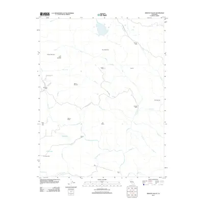
2012 Map of Jericho Valley
USGS Topo · Published 2012About this map
Jericho Valley and the surrounding drainage of Putah Cr characterize this portion of Yolo County as it appeared in the early 21st century. The landscape is defined by its water systems and significant terrain features, including Petticoat Mountain and Jim Davis Peak. Isolated ranching operations such as Hennesey Ranch and Ink Ranch are tucked into the drainages of Bucksnort Cr and Butcherknife Cr, representing a persistent pattern of rural land use.
Find a feature on this map
39 named features on this map. Tap any name to fly to it.
Don’t see what you’re looking for? This feature index may not catch every label — zoom into the map to look around manually.
Map Details
Editions of this 2012 Jericho Valley Map
This is the sole edition of this map. No revisions or reprints were ever made.
Other maps of this area

1927 · Calistoga
USGS Topo · 1:62,500

1942 · St. Helena
USGS Topo · 1:62,500

1943 · Morgan Valley
USGS Topo · 1:62,500

1943 · Calistoga
USGS Topo · 1:62,500

1944 · Morgan Valley
USGS Topo · 1:62,500

1945 · Calistoga
USGS Topo · 1:62,500

1945 · St. Helena
USGS Topo · 1:62,500

1945 · Lower Lake
USGS Topo · 1:62,500

1947 · Santa Rosa
USGS Topo · 1:250,000

1949 · Santa Rosa
USGS Topo · 1:250,000