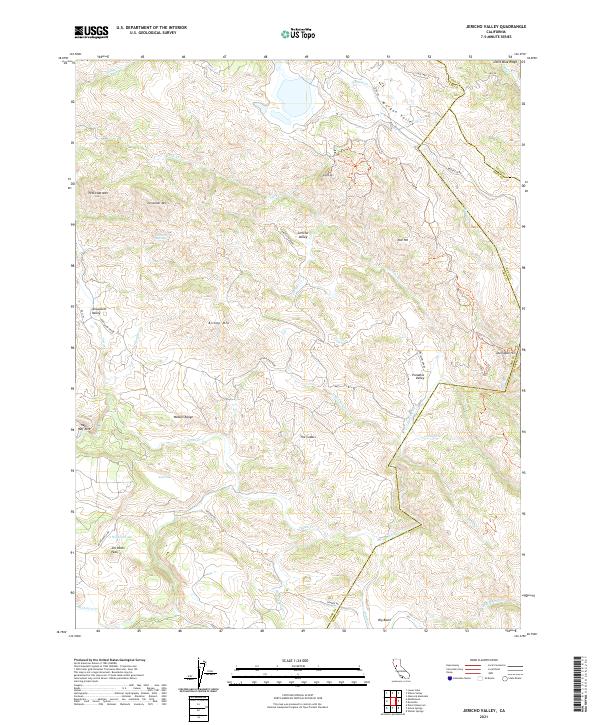
2021 Map of Jericho Valley
USGS Topo · Published 2021About this map
Jericho Valley and Jerusalem Valley are central features of this California interior landscape, where the borders of Lake, Yolo, and Napa counties converge. The terrain is defined by complex drainage patterns, with Jericho Cr and Putah Cr carving through high ridges such as the Watson Range and Little Blue Ridge. In the southern reaches, peaks like Jim Davis Peak and Jim Dollar Mtn overlook a series of small, isolated water bodies including Amel Lake and Wildcat Lake.
Find a feature on this map
48 named features on this map. Tap any name to fly to it.
Don’t see what you’re looking for? This feature index may not catch every label — zoom into the map to look around manually.
Map Details
Editions of this 2021 Jericho Valley Map
This is the sole edition of this map. No revisions or reprints were ever made.
Other maps of this area

1927 · Calistoga
USGS Topo · 1:62,500

1942 · St. Helena
USGS Topo · 1:62,500

1943 · Morgan Valley
USGS Topo · 1:62,500

1943 · Calistoga
USGS Topo · 1:62,500

1944 · Morgan Valley
USGS Topo · 1:62,500

1945 · Calistoga
USGS Topo · 1:62,500

1945 · St. Helena
USGS Topo · 1:62,500

1945 · Lower Lake
USGS Topo · 1:62,500

1947 · Santa Rosa
USGS Topo · 1:250,000

1949 · Santa Rosa
USGS Topo · 1:250,000