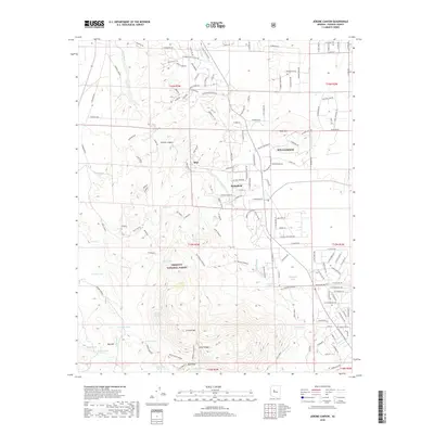
2018 Map of Jerome Canyon
USGS Topo · Published 2018About this map
Williamson and the smaller settlements of Stringfield and Mint anchor the eastern plateau of this 2018 survey, where the suburban edge of Yavapai County meets the eastern front of the Prescott National Forest. The landscape is defined by a transition from high-desert valley floor to the massive uplift of Granite Mtn. This peak, along with Table Mtn and Red Hill, creates a complex hydrological network of canyons and washes, including Jerome Canyon and Tonto Wash. Numerous water sources are documented throughout the drainage basins, from Tin Trough Springs to White Rock Spring and Sheep Spring. A network of ranch roads and trails, such as American Ranch Rd and Cowboy Springs Trl, illustrates the land's contemporary use for both residential development and managed wilderness access near Blair Pass.
Find a feature on this map
143 named features on this map. Tap any name to fly to it.
Don’t see what you’re looking for? This feature index may not catch every label — zoom into the map to look around manually.
Map Details
Editions of this 2018 Jerome Canyon Map
This is the sole edition of this map. No revisions or reprints were ever made.
Other maps of this area

1887 · Prescott
USGS Topo · 1:250,000

1892 · Prescott
USGS Topo · 1:250,000

1905 · Jerome
USGS Topo · 1:125,000

1947 · Simmons
USGS Topo · 1:62,500

1947 · Iron Springs
USGS Topo · 1:62,500

1947 · Paulden
USGS Topo · 1:62,500

1947 · Prescott
USGS Topo · 1:62,500

1948 · Iron Springs
USGS Topo · 1:63,360

1948 · Prescott
USGS Topo · 1:62,500

1948 · Simmons
USGS Topo · 1:63,360