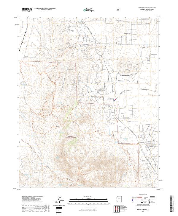
2021 Map of Jerome Canyon
USGS Topo · Published 2021About this map
Prescott National Forest dominates the southern half of this landscape, where the massive bulk of Granite Mountain and the steep incline of Red Hill rise above the drainage basins. This area of Yavapai County is defined by its transition from the high peaks of the forest down into the more developed valleys. Small settlements like Stringfield and Mint are situated near the seasonal flows of Mint Wash and Copper Wash, reflecting a history of land use tied to the water sources and grazing lands at the forest's edge.
Find a feature on this map
157 named features on this map. Tap any name to fly to it.
Don’t see what you’re looking for? This feature index may not catch every label — zoom into the map to look around manually.
Map Details
Editions of this 2021 Jerome Canyon Map
This is the sole edition of this map. No revisions or reprints were ever made.
Other maps of this area

1887 · Prescott
USGS Topo · 1:250,000

1892 · Prescott
USGS Topo · 1:250,000

1905 · Jerome
USGS Topo · 1:125,000

1947 · Simmons
USGS Topo · 1:62,500

1947 · Iron Springs
USGS Topo · 1:62,500

1947 · Paulden
USGS Topo · 1:62,500

1947 · Prescott
USGS Topo · 1:62,500

1948 · Iron Springs
USGS Topo · 1:63,360

1948 · Prescott
USGS Topo · 1:62,500

1948 · Simmons
USGS Topo · 1:63,360