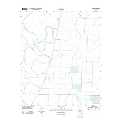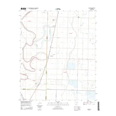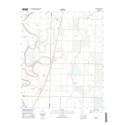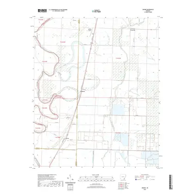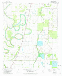
1981 Map of Jerome
USGS Topo · Published 1982About this map
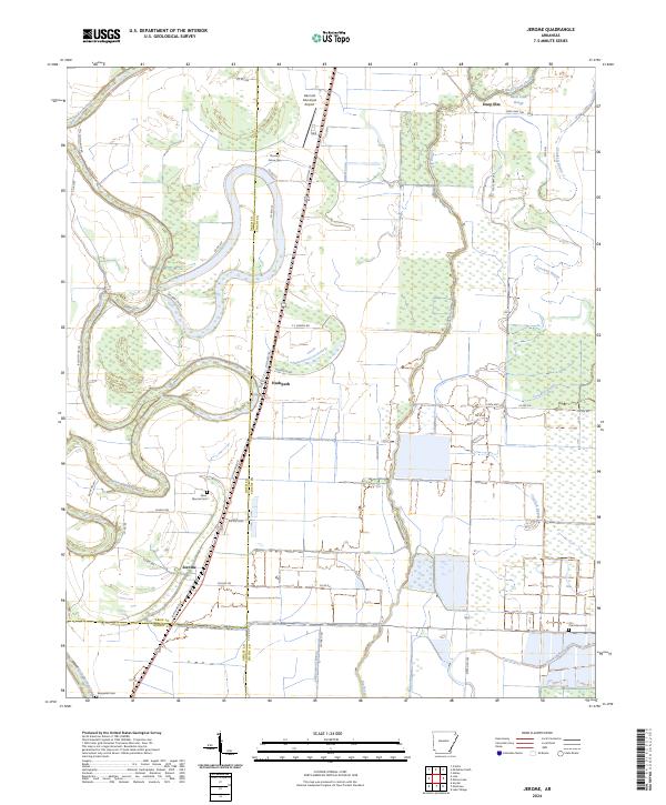
The low-lying delta lands of Southeast Arkansas come into focus along the Missouri Pacific rail corridor, which serves as the primary spine for settlements like Jerome, Bufford, and Hudspeth. The landscape is defined by the winding course of Bayou Bartholomew to the west and the oxbow waters of Wallace Lake, revealing a topography shaped by alluvial drainage. This late 1970s survey captures an agricultural economy supported by an intricate network of flumes and the emergence of commercial aquaculture at the Fish Farm in the southeast. Genealogy and local history are anchored by rural gathering points such as Silver Mound Ch and its accompanying Silver Mound Cem, along with Pleasant Grove Ch and Bethel Temple. The map also documents educational and civic infrastructure from the era, including the Bellaire Academy and the Dermott Municipal Airport.
Find a feature on this map
27 named features on this map. Tap any name to fly to it.
Don’t see what you’re looking for? This feature index may not catch every label — zoom into the map to look around manually.
Map Details
Editions of this 1981 Jerome Map
This is the sole edition of this map. No revisions or reprints were ever made.
Historical Maps of Jerome Through Time
6 maps found