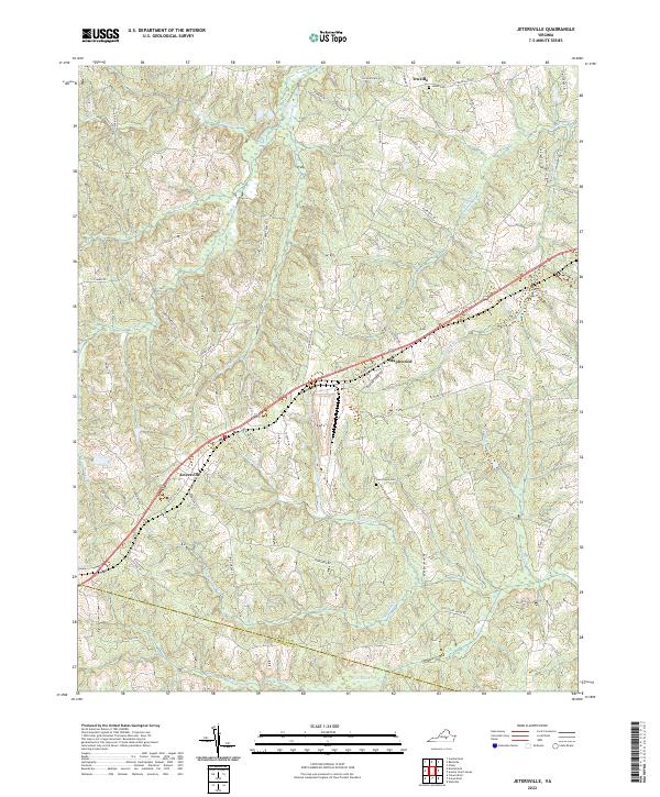
2022 Map of Jetersville
USGS Topo · Published 2022About this map
Jetersville serves as the primary settlement in this central Virginia landscape, positioned along the historic transport corridor that bisects the region. The map captures a detailed drainage network where West Creek and its various tributaries, including Maplewood Branch and N Buckskin Cr, carve through the terrain. These waterways historically dictated the placement of early roads and family settlements, many of which are preserved here through local landmarks like Maplewood and Truxillo.
Find a feature on this map
62 named features on this map. Tap any name to fly to it.
Don’t see what you’re looking for? This feature index may not catch every label — zoom into the map to look around manually.
Map Details
Editions of this 2022 Jetersville Map
This is the sole edition of this map. No revisions or reprints were ever made.
Other maps of this area

1891 · Farmville
USGS Topo · 1:125,000

1893 · Farmville
USGS Topo · 1:125,000

1897 · Amelia
USGS Topo · 1:125,000

1943 · Amelia
USGS Topo · 1:31,680
1943 · Chula
USGS Topo · 1:24,000

1943 · Richmond
USGS Topo · 1:250,000

1944 · Chula
USGS Topo · 1:31,680

1947 · Roanoke
USGS Topo · 1:250,000

1949 · Richmond
USGS Topo · 1:250,000
1950 · Wellville
USGS Topo · 1:24,000