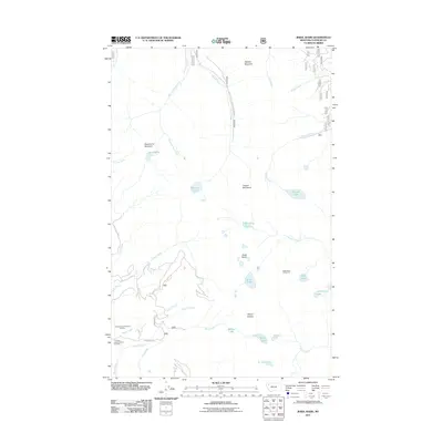
2011 Map of Jewel Basin
USGS Topo · Published 2011About this map
Mount Aeneas and Wildcat Mountain anchor the high-elevation landscape of this Flathead County region, where the Jewel Basin Hiking Area provides a network of alpine trails. The terrain is defined by a dense concentration of glacial lakes, including Clayton Lake, Birch Lake, and the distinctly named In-thlam-keh Lake. These water bodies feed numerous drainage systems such as Graves Creek and Wounded Buck Creek, which flow through the steep topography of the Swan Range.
Find a feature on this map
38 named features on this map. Tap any name to fly to it.
Don’t see what you’re looking for? This feature index may not catch every label — zoom into the map to look around manually.
Map Details
Editions of this 2011 Jewel Basin Map
This is the sole edition of this map. No revisions or reprints were ever made.
Other maps of this area

1914 · Nyack
USGS Topo · 1:125,000

1943 · Kalispell
USGS Topo · 1:125,000

1957 · Kalispell
USGS Topo · 1:250,000

1960 · Kalispell
USGS Topo · 1:250,000

1960 · Cut Bank
USGS Topo · 1:250,000

1961 · Kalispell
USGS Topo · 1:250,000

1962 · Doris Mountain
USGS Topo · 1:24,000

1962 · Hash Mountain
USGS Topo · 1:24,000
1962 · Bigfork
USGS Topo · 1:24,000

1963 · Cut Bank
USGS Topo · 1:250,000